Home
Images
Vectors
Videos
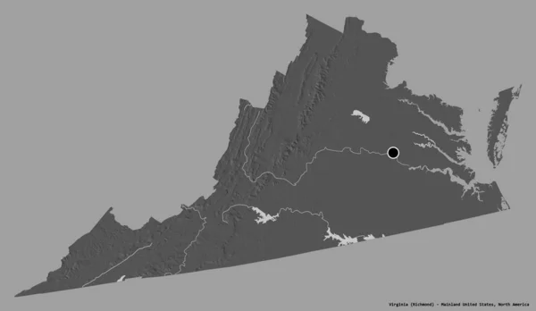
Stock image Map of Hampton independent city in Virginia state on white background. UNITED STATES, US
Published:
Jul.25, 2024 09:08:04
Author:
akhtaransari
Views:
0
Downloads:
0
File type:
image
/
jpg
File size:
4.46 MB
Orginal size:
8000
x
5334
px
Available sizes:
S
(500 x 333)
M
(1000 x 667)
L
(2000 x 1334)
XL
(8000 x 5334)
EL0
(8000 x 5334)
Level:
beginner
Download Image
Image topics:
White
Background
Illustration
Design
Isolated
Shape
Abstract
Black
Line
Silhouette
Border
Symbol
City
Blank
Contour
Simple
Drawing
Us
Coastline
Outline
District
Map
Cartography
Geography
Area
State
Location
America
Ceremonial
Government
Political
Administrative
Region
Maps
Independent
Highlighted
Province
Virginia
County
Locator
Borough
Mapping
Towns
Districts
Hampton
Counties
United States
Virginia Map
Self Governing
Hampton Map
Similar stock images
Map Of Virginia On Old Linen
4288 × 2848
Rhode Island Administrative Map. Counties Map Of Rhode Island, Blank Map, Empty Map Of Rhode Island
5334 × 8000
Polygonal Network Mesh High Resolution Raster Map Of Maryland State Abstractions
6274 × 3150
Map Of Massachusetts On Old Linen
4288 × 2848
Shape Of Virginia, State Of Mainland United States, With Its Capital Isolated On White Background. Bilevel Elevation Map. 3D Rendering
3836 × 2228
Shape Of Virginia, State Of Mainland United States, With Its Capital Isolated On A Solid Color Background. Bilevel Elevation Map. 3D Rendering
3836 × 2228
Shape Of Chobe, District Of Botswana, With Its Capital Isolated On White Background. Bilevel Elevation Map. 3D Rendering
3836 × 2422
Map Of Berkshire County In Massachusetts State On White Background. Single County Map Highlighted By Black Colour On Massachusetts Map. UNITED STATES, US
8000 × 6667