Home
Images
Vectors
Videos
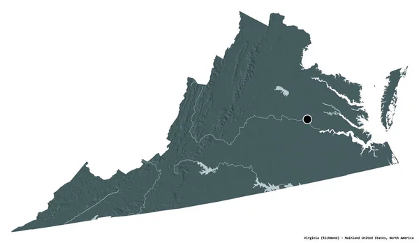
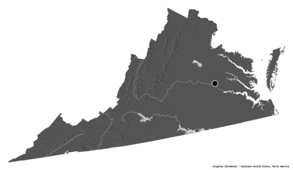
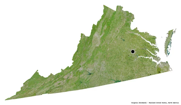
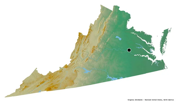
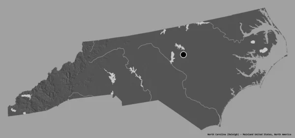
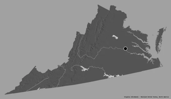
Stock image Shape of Virginia, state of Mainland United States, with its capital isolated on a solid color background. Bilevel elevation map. 3D rendering
Published:
Aug.21, 2020 09:35:06
Author:
Yarr65
Views:
0
Downloads:
0
File type:
image
/
jpg
File size:
0.94 MB
Orginal size:
3836
x
2228
px
Available sizes:
S
(500 x 290)
M
(1000 x 581)
L
(2000 x 1162)
XL
(3836 x 2228)
EL0
(3836 x 2228)
Level:
bronze
Download Image
Image topics:
View
Travel
Nature
Sea
Landscape
Earth
Planet
World
Usa
Ocean
Science
Capital
Globe
Profile
Country
Map
Cartography
Geography
Continent
Land
Zoom
State
Washington
Region
Territory
Atlas
Virginia
Overlay
Va
Richmond
3d Rendering
North America
Subregion
Bilevel
Administrative Division
Mainland United States
Similar stock images
Shape Of Virginia, State Of Mainland United States, With Its Capital Isolated On White Background. Colored Elevation Map. 3D Rendering
3836 × 2228
Shape Of Virginia, State Of Mainland United States, With Its Capital Isolated On White Background. Bilevel Elevation Map. 3D Rendering
3836 × 2228
Shape Of Virginia, State Of Mainland United States, With Its Capital Isolated On White Background. Satellite Imagery. 3D Rendering
3836 × 2228
Shape Of Kentucky, State Of Mainland United States, With Its Capital Isolated On A Solid Color Background. Bilevel Elevation Map. 3D Rendering
3836 × 2059
Shape Of Virginia, State Of Mainland United States, With Its Capital Isolated On A Solid Color Background. Colored Elevation Map. 3D Rendering
3836 × 2228
Shape Of Virginia, State Of Mainland United States, With Its Capital Isolated On White Background. Topographic Relief Map. 3D Rendering
3836 × 2228
Shape Of Virginia, State Of Mainland United States, With Its Capital Isolated On Solid Background. Distance Scale, Region Preview And Labels. Topographic Relief Map. 3D Rendering
2880 × 1620
Shape Of North Carolina, State Of Mainland United States, With Its Capital Isolated On A Solid Color Background. Bilevel Elevation Map. 3D Rendering
3836 × 1800