Home
Images
Vectors
Videos
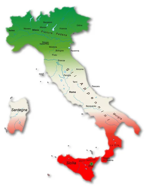
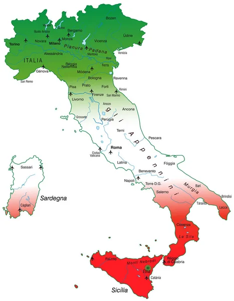
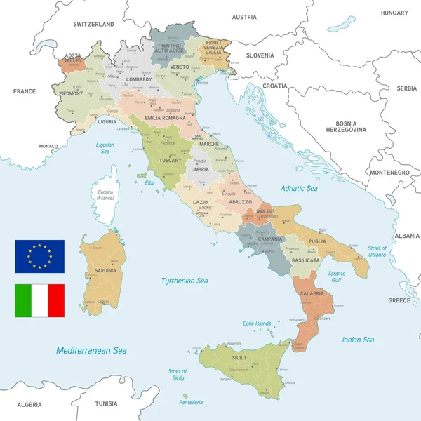
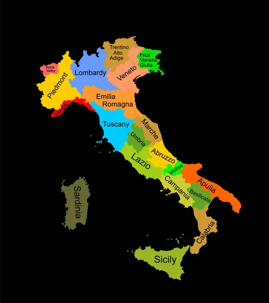
Stock image Map of Italy as an overview map
Published:
Apr.15, 2020 16:54:21
Author:
PantherMediaSeller
Views:
9
Downloads:
0
File type:
image
/
jpg
File size:
0 MB
Orginal size:
3592
x
4622
px
Available sizes:
S
(389 x 500)
M
(777 x 1000)
L
(1554 x 2000)
XL
(3592 x 4622)
EL0
(3592 x 4622)
Level:
platinum
Download Image
Image topics:
Graphic
Illustration
Design
Travel
Modern
Education
Italy
Country
Map
Cartography
Geography
Plan
Overview
Topography
Italia
Roma
Borders
Dine
Political
Pisa
Milano
Geographic
Bologna
Atlas
Orientation
Livorno
Geographical
Vicenza
Cartographer
Ravenna
Monza
Torino
Genova
Pescara
Bergamo
Ancona
Terni
Prato
Palermo
Reggio
Novara
Benevento
Italian Map
Country Map
Island Map
Overview Map
Country Borders
Nellemlia
Similar stock images
Map Of Italy As An Overview Map
3592 × 4622
Italy Map With National Colors
3500 × 4504
Map Of Italy As An Overview Map
3584 × 4599
Map Of Italy
3900 × 4650
Italy Map With National Colors
3500 × 4491
Vector Map Of Italy With Administrative Borders, City And Region Names And International Bordering Countries In Soft Colors Palette
6000 × 6000
Colorful Map Of Italy Vector Silhouette Illustration Isolated On Black Background. Autonomous Communities Of Italy. Detailed Italian Regions Administrative Divisions, Separated Provinces. Outline Map.
4599 × 5187
Colorful Map Of Italy Vector Silhouette Illustration Isolated On White Background. Autonomous Communities Of Italy. Detailed Italian Regions Administrative Divisions, Separated Provinces. Outline Map.
4599 × 5187