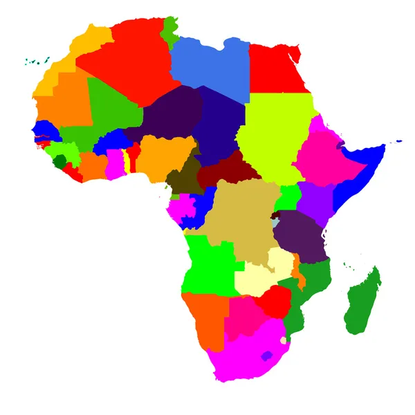
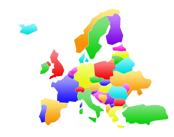
Stock image Map of Italy bright graphic illustration. Handmade drawing with map. Italy map with Italian major cities and regions.

Published: Dec.27, 2022 10:42:43
Author: innabelavi
Views: 11
Downloads: 1
File type: image / jpg
File size: 1.36 MB
Orginal size: 5000 x 5000 px
Available sizes:
Level: beginner
Similar stock images

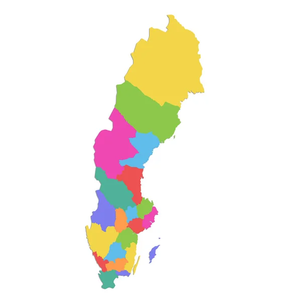
Sweden Map, Administrative Division With Names, Colors Map Isolated On White Background Blank
4000 × 4283