Home
Images
Vectors
Videos
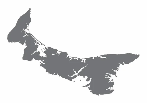
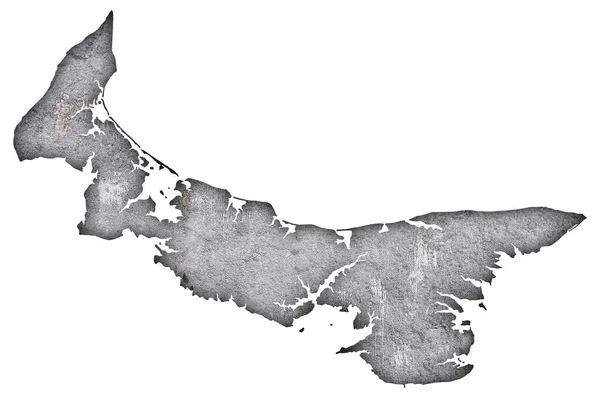
Stock image Map of Prince Edward Island on weathered concrete
Published:
Aug.26, 2020 13:41:15
Author:
lantapix
Views:
0
Downloads:
0
File type:
image
/
jpg
File size:
2.91 MB
Orginal size:
4288
x
2848
px
Available sizes:
S
(500 x 332)
M
(1000 x 664)
L
(2000 x 1328)
XL
(4288 x 2848)
EL0
(4288 x 2848)
Level:
bronze
Download Image
Image topics:
Background
Isolated
Stone
Texture
Pattern
Grunge
Old
Vintage
Symbol
Structure
Contour
Shadow
Cement
Weathered
Rock
Ancient
Outline
Country
Map
Concrete
State
Canada
Prince Edward Island
North America
Similar stock images
Map Of Prince Edward Island On Dark Slate
4288 × 2848
Black Flat Blank Highlighted Location Map Of The PRINCE COUNTY Inside Gray Administrative Map Of Counties Of Canadian Province Of Prince Edward Island, Canada
6007 × 3989
Map Of Prince Edward Island
5000 × 4000
Black Flat Blank Highlighted Location Map Of The QUEENS COUNTY Inside Gray Administrative Map Of Counties Of Canadian Province Of Prince Edward Island, Canada
6007 × 3989
Ontario Province And Territory Of Canada. Black Illustration And Outline. Isolated On A White Background. EPS Vector
8334 × 6250
Gray Flat Blank Vector Administrative Map Of The Canadian Province Of NOVA SCOTIA, CANADA
6000 × 4020
Anzersky Island (Russia, Russian Federation, White Sea) Map Vector Illustration, Scribble Sketch Ostrov Anzersky Map
7087 × 4726
Prince Edward Island Silhouette Map Isolated On White Background, Canada
5000 × 3500