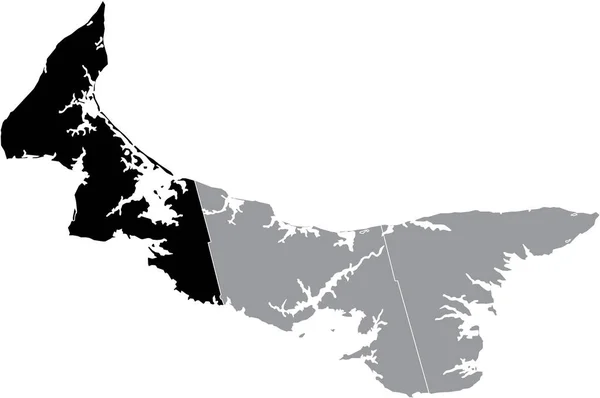
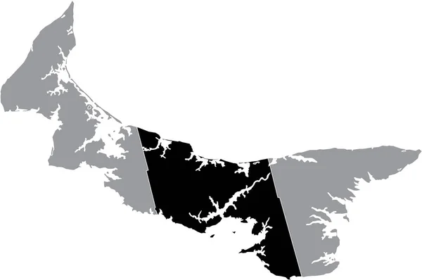
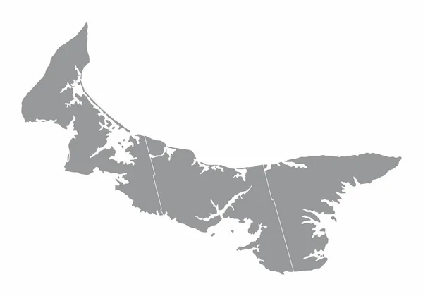
Stock vector Black flat blank highlighted location map of the PRINCE COUNTY inside gray administrative map of counties of Canadian province of Prince Edward Island, Canada
Published: Jan.19, 2022 08:54:01
Author: momcilo.jovanov
Views: 2
Downloads: 0
File type: vector / eps
File size: 0.57 MB
Orginal size: 6007 x 3989 px
Available sizes:
Level: bronze
Similar stock vectors


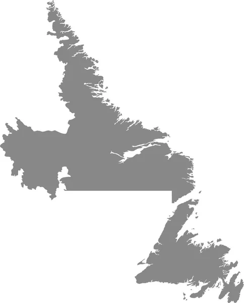
Gray Flat Blank Vector Administrative Map Of The Canadian Province Of NOVA SCOTIA, CANADA
6000 × 4020