Home
Images
Vectors
Videos
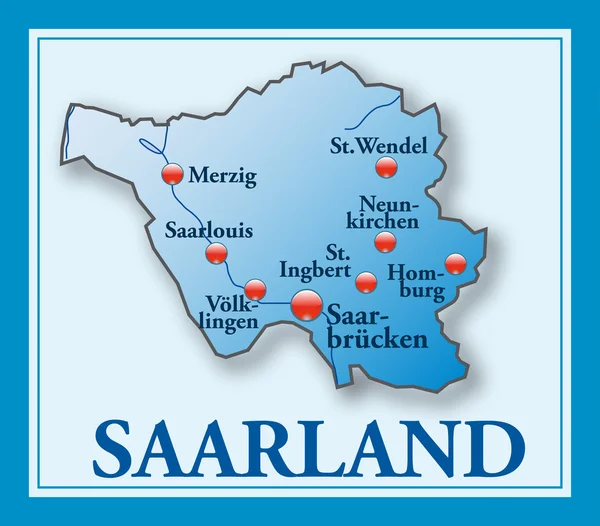
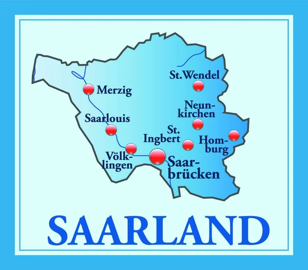
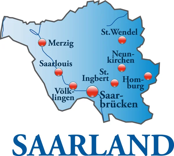
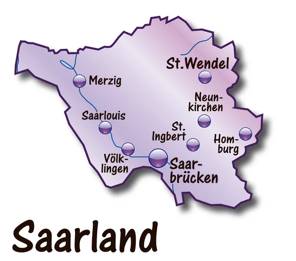
Stock image Map of Saarland as an overview map in Blue
Published:
Apr.15, 2020 13:53:50
Author:
PantherMediaSeller
Views:
1
Downloads:
0
File type:
image
/
jpg
File size:
0 MB
Orginal size:
4415
x
3859
px
Available sizes:
S
(500 x 437)
M
(1000 x 874)
L
(2000 x 1748)
XL
(4415 x 3859)
EL0
(4415 x 3859)
Level:
platinum
Download Image
Image topics:
Blue
Graphic
Illustration
Design
Travel
Modern
Information
Education
Country
Map
Cartography
Geography
Plan
Germany
Overview
State
Topography
Borders
Political
Geographic
Atlas
Orientation
Geographical
Cartographer
Saarland
Homburg
Merzig
Country Map
Island Map
Overview Map
Country Borders
StWendel
Similar stock images
Map Of Saarland As An Overview Map In Blue
4415 × 3859
Saarland Mit Blauem Rahmen
5921 × 5196
Map Of Saarland As An Overview Map In Blue
4533 × 4387
Saarland In Germany As An Island Map Of All The Topographic Information In Blue. The Appealing Design,the Card Fits In Perfectly With Your Intentions.
5696 × 4992
Saarland In Blau
4592 × 4127
Map Of Saarland
4229 × 3867
Map Of Saarland
5593 × 3168
Map Of Saarland
4657 × 4107