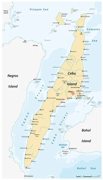
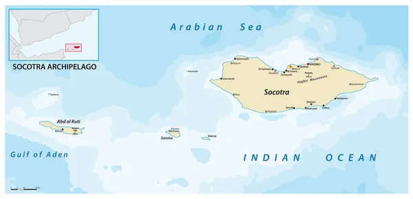
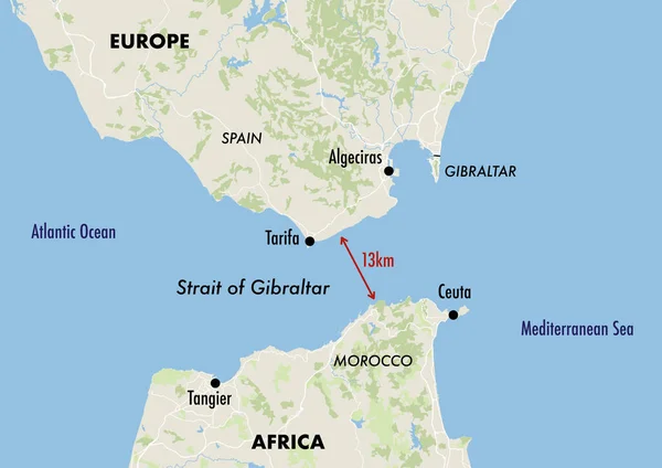
Stock image Map of the Gibraltar Strait showing the distance between Europe and Africa
Published: Apr.05, 2023 14:24:34
Author: dkaramit
Views: 475
Downloads: 0
File type: image / jpg
File size: 2.3 MB
Orginal size: 4200 x 2970 px
Available sizes:
Level: beginner