Home
Images
Vectors
Videos
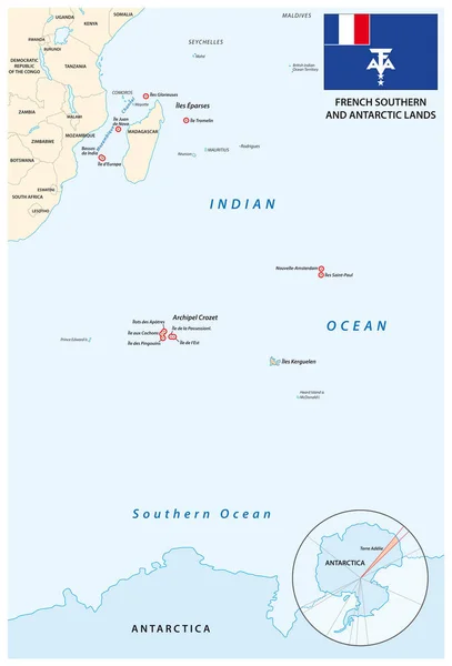
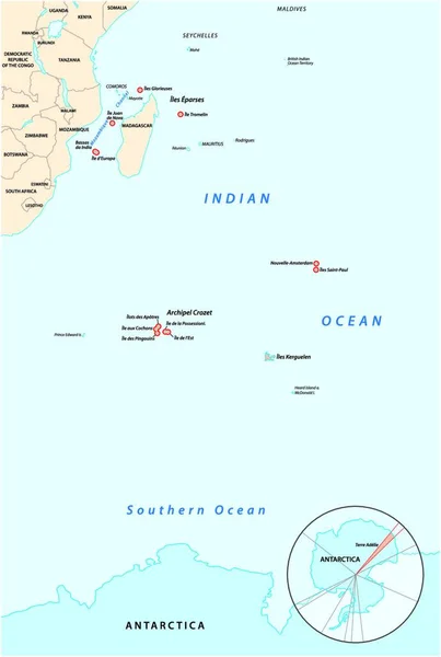
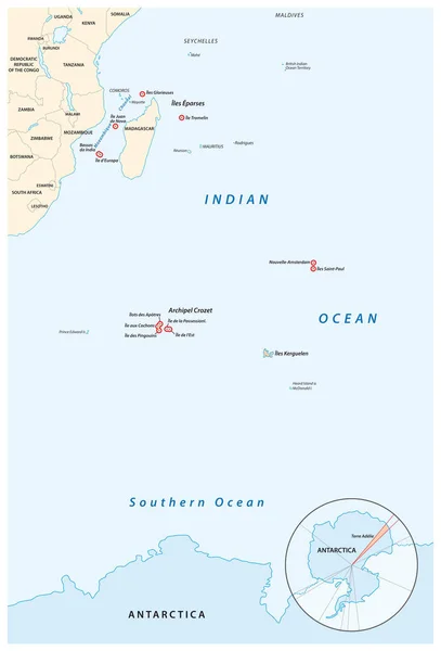
Stock vector Map of the French Southern and Antarctic Territories
Published:
Sep.10, 2019 10:25:34
Author:
Lesniewski
Views:
9
Downloads:
0
File type:
vector
/
eps
File size:
0.88 MB
Orginal size:
3100
x
4561
px
Available sizes:
S
(340 x 500)
M
(680 x 1000)
L
(1359 x 2000)
XL
(3100 x 4561)
VECT
(3100 x 4561)
EL0
(3100 x 4561)
Level:
bronze
Download Vector
Vector topics:
Blue
Vector
Illustration
French
Border
France
Coastline
Ocean
Detailed
Russia
Outline
Country
Map
Cartography
Geography
Africa
Continent
Land
Topography
International
Political
Islands
Southern
Claim
Antarctica
Independent
Nation
Argentina
Mapping
Seychelles
Reunion
Madagascar
Regions
Comoros
Archipelago
Oversea
South Africa
Indian Ocean
Navigational Equipment
Geographical Locations
Kerguelen
Political Map
Antarctic Lands
Antarctic Region
Oversea Department
Similar stock vectors
Map Of The French Southern And Antarctic Territories With Flag
3100 × 4561
Map Of The French Southern And Antarctic Territories
3820 × 4000
Map Of The French Southern And Antarctic Territories
3820 × 4000
Map Of The ABC Islands In The Caribbean Sea
4891 × 3100
South Georgia And The South Sandwich Islands Vector Map, UK
4000 × 3845
Map Of The Gibraltar Strait Showing The Distance Between Europe And Africa
4200 × 2970
Vector Map Of The Portuguese Archipelago Azores In The Atlantic Ocean, Portugal
4633 × 3100
Vector Map Of The Portuguese Archipelago Azores In The Atlantic Ocean With Flag, Portugal
4633 × 3100