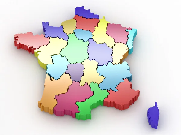
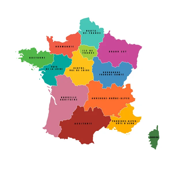
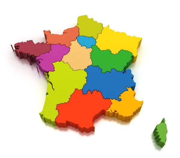
Stock image Map of the regions of France
Published: Oct.02, 2018 12:02:28
Author: md3d
Views: 32
Downloads: 0
File type: image / jpg
File size: 3.01 MB
Orginal size: 4200 x 3675 px
Available sizes:
Level: bronze