Home
Images
Vectors
Videos
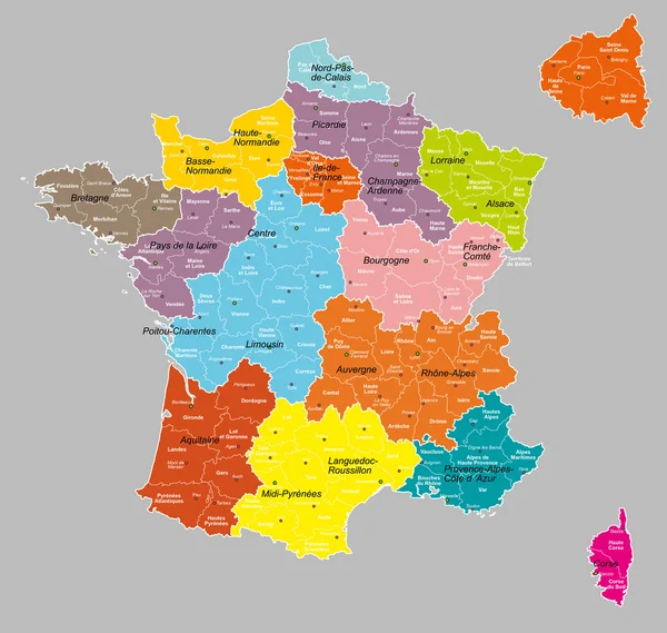
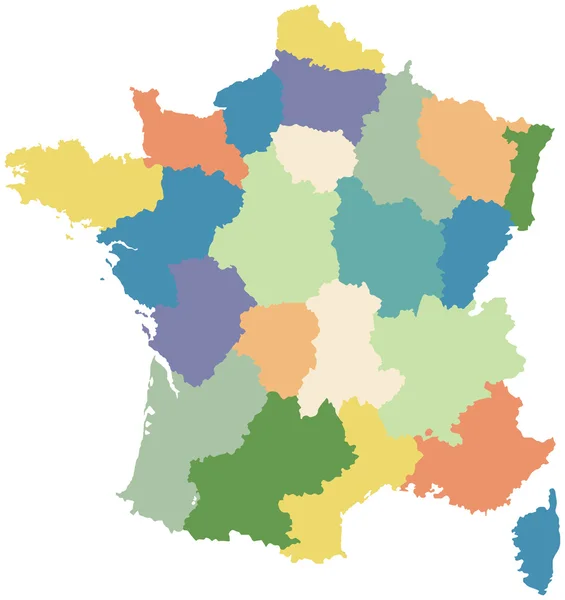
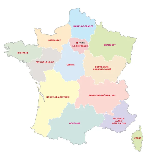
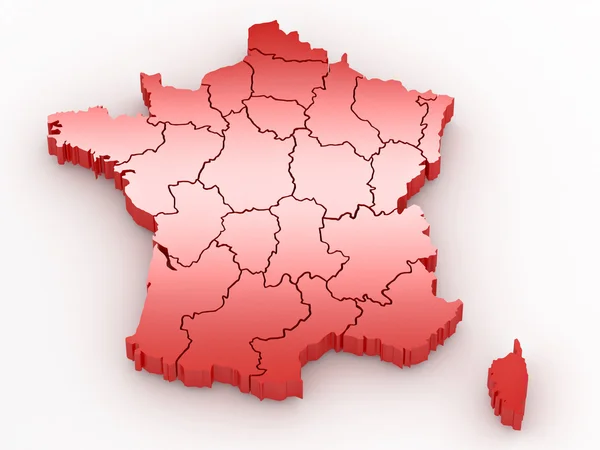
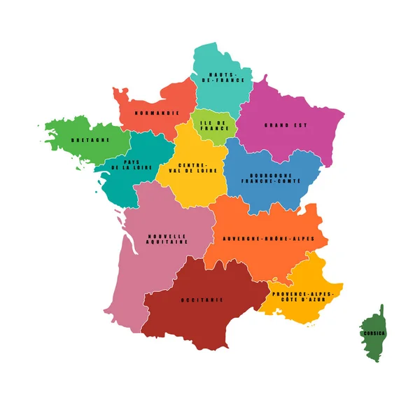
Stock vector France regions map. Vector map. French regions..
Published:
Sep.16, 2019 11:54:37
Author:
kolibrico
Views:
27
Downloads:
0
File type:
vector
/
eps
File size:
1.13 MB
Orginal size:
4500
x
4500
px
Available sizes:
S
(500 x 500)
M
(1000 x 1000)
L
(2000 x 2000)
XL
(4500 x 4500)
VECT
(4500 x 4500)
EL0
(4500 x 4500)
Level:
beginner
Download Vector
Vector topics:
Color
White
Vector
Background
Colorful
Illustration
Isolated
Shape
Art
Travel
European
French
Border
Symbol
Multicolored
France
Tourism
Europe
Outline
Country
Map
Cartography
Geography
National
State
Administrative
Department
Region
Division
Geographical
Names
Corsica
Aquitaine
Similar stock vectors
Administrative Map Of The 13 Regions Of France Since 2016
3374 × 3379
World Mapp
5000 × 4745
Administrative Map Of The 13 Regions Of France Since 2016
3328 × 3333
Three-dimensional Map Of France On White Isolated Background
3600 × 2700
Map Of France Divided Into Regions
2992 × 3175
Administrative Map Of The 13 Regions Of France Since 2016
4632 × 4840
Three-dimensional Map Of France On White Isolated Background
3600 × 2700
France Map Colorful Country Icon
4521 × 4521