photo free
Home Images Vectors Videos

Stock image Map of the State Illinois (United States of America) showing the isolated territory with relief representation, water bodies like seas, rivers, lakes and with borders. No labels at all.

Stock image Map of the State Illinois (United States of America) showing the isolated territory with relief representation, water bodies like seas, rivers, lakes and with borders. No labels at all.
Published: Aug.01, 2024 07:56:02
Author: TipTopMap
Views: 0
Downloads: 0
File type: image / jpg
File size: 1.87 MB
Orginal size: 4035 x 6000 px
Available sizes:
S
(336 x 500)
M
(673 x 1000)
L
(1345 x 2000)
XL
(4035 x 6000)
EL0
(4035 x 6000)
Level: beginner
Download Image
Image topics:

Similar stock images

stock image Shape of Tillabery, department of Niger, with its capital isolated on white background. Topographic relief map. 3D rendering

Shape Of Tillabery, Department Of Niger, With Its Capital Isolated On White Background. Topographic Relief Map. 3D Rendering

3836 × 3630
stock image Shape of Lunda Norte, province of Angola, with its capital isolated on white background. Topographic relief map. 3D rendering

Shape Of Lunda Norte, Province Of Angola, With Its Capital Isolated On White Background. Topographic Relief Map. 3D Rendering

3836 × 3176
stock image Shape of Indiana, state of Mainland United States, with its capital isolated on white background. Topographic relief map. 3D rendering

Shape Of Indiana, State Of Mainland United States, With Its Capital Isolated On White Background. Topographic Relief Map. 3D Rendering

2315 × 3836
stock image Shape of Gabu, region of Guinea-Bissau, with its capital isolated on white background. Topographic relief map. 3D rendering

Shape Of Gabu, Region Of Guinea-Bissau, With Its Capital Isolated On White Background. Topographic Relief Map. 3D Rendering

3144 × 3836
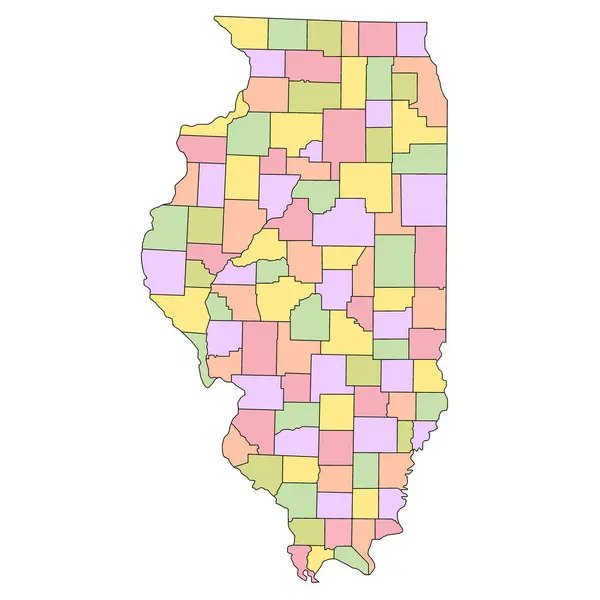
stock image Illinois administrative map. counties map of Illinois with different colours, blank Map, empty map of Illinois

Illinois Administrative Map. Counties Map Of Illinois With Different Colours, Blank Map, Empty Map Of Illinois

8000 × 8000
stock image Shape of Cote d'Ivoire with its capital isolated on white background. Topographic relief map. 3D rendering

Shape Of Cote D'Ivoire With Its Capital Isolated On White Background. Topographic Relief Map. 3D Rendering

1996 × 2083
stock image Shape of Koulikoro, region of Mali, with its capital isolated on white background. Topographic relief map. 3D rendering

Shape Of Koulikoro, Region Of Mali, With Its Capital Isolated On White Background. Topographic Relief Map. 3D Rendering

2925 × 3836
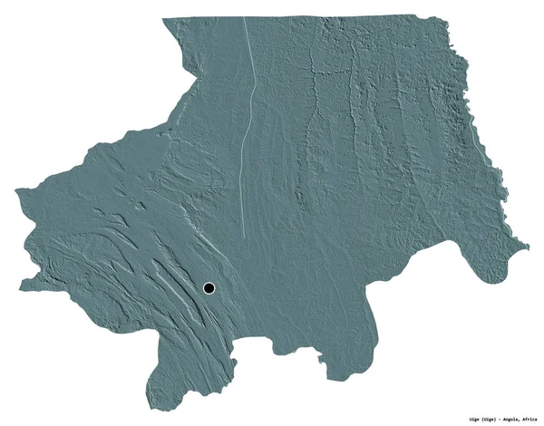
stock image Shape of Uige, province of Angola, with its capital isolated on white background. Colored elevation map. 3D rendering

Shape Of Uige, Province Of Angola, With Its Capital Isolated On White Background. Colored Elevation Map. 3D Rendering

3836 × 3008