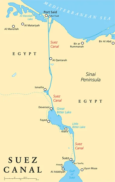
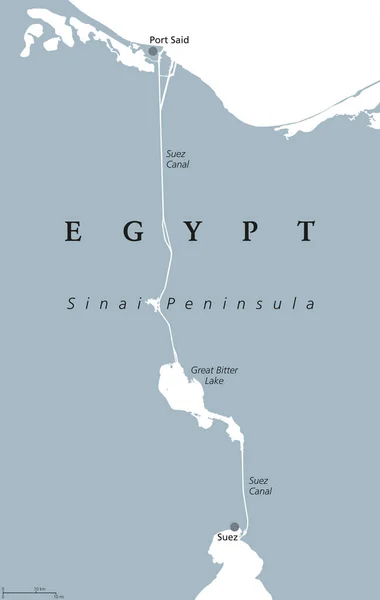
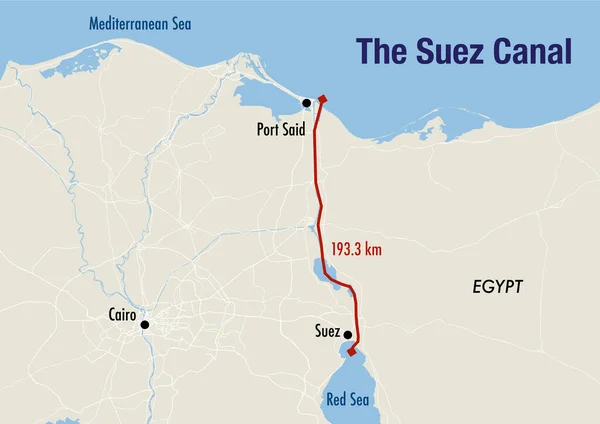
Stock image Map of the Suez canal, illustrating the route from the Mediterranean to the Red sea
Published: Apr.05, 2023 14:24:34
Author: dkaramit
Views: 565
Downloads: 1
File type: image / jpg
File size: 1.92 MB
Orginal size: 4200 x 2970 px
Available sizes:
Level: beginner