Home
Images
Vectors
Videos
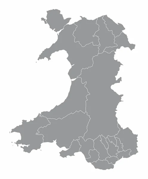
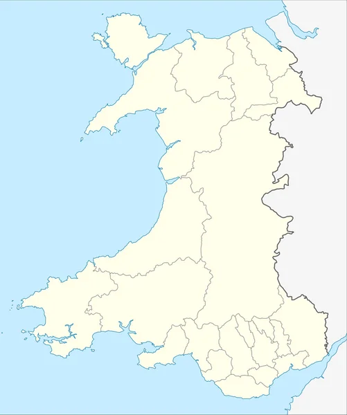
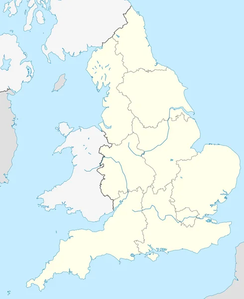
Stock image Map of Wales
Published:
Dec.12, 2011 17:51:47
Author:
speedfighter17
Views:
658
Downloads:
3
File type:
image
/
jpg
File size:
1.4 MB
Orginal size:
3000
x
3588
px
Available sizes:
S
(418 x 500)
M
(836 x 1000)
L
(1672 x 2000)
XL
(3000 x 3588)
EL0
(3000 x 3588)
Level:
bronze
Download Image
Image topics:
Element
Illustration
Sign
Travel
European
Border
Symbol
Icon
Europe
In
Illustrated
Country
Map
Geography
National
Place
Of
Destination
States
The
Graphical
Territory
Wales
Welsh
Mapping
Geographical
Territories
Counties
Gepgraphy
Geogaphical
Similar stock images
England Map
2650 × 3243
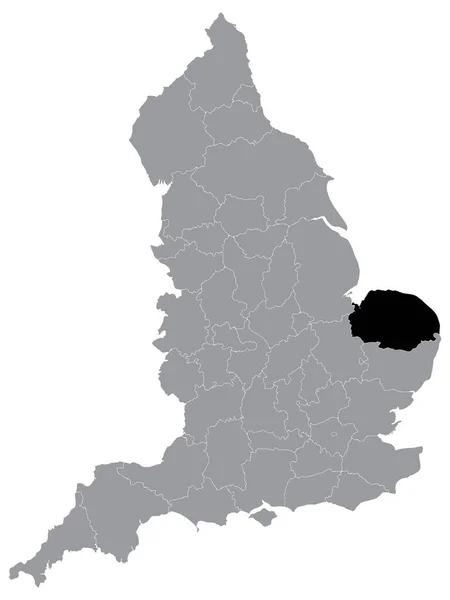
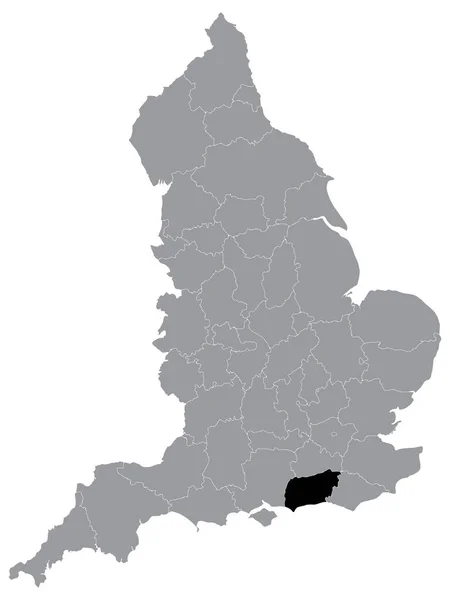
Black Location Map Of English Ceremonial County (Lieutenancy Area) Of Norfolk Within Grey Map Of England
3600 × 4800
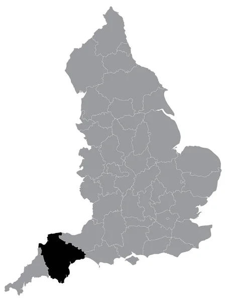
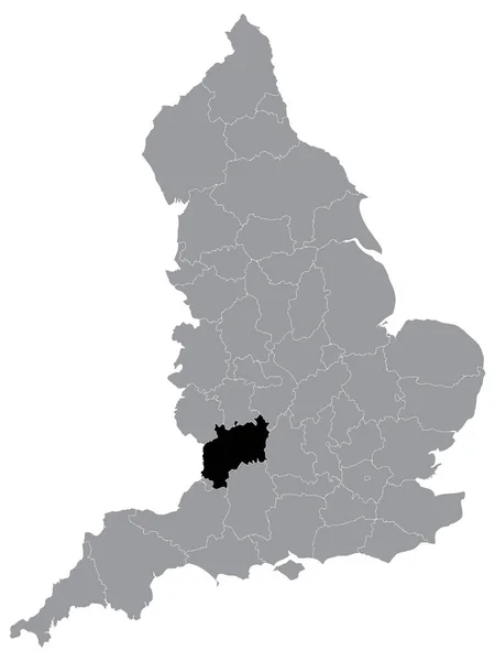
Black Location Map Of English Ceremonial County (Lieutenancy Area) Of Devon Within Grey Map Of England
3600 × 4800
Black Location Map Of English Ceremonial County (Lieutenancy Area) Of Cornwall Within Grey Map Of England
3600 × 4800
Black Location Map Of English Ceremonial County (Lieutenancy Area) Of West Sussex Within Grey Map Of England
3600 × 4800
Black Location Map Of English Ceremonial County (Lieutenancy Area) Of Gloucestershire Within Grey Map Of England
3600 × 4800
Wales Regions Map
4140 × 5000