Home
Images
Vectors
Videos
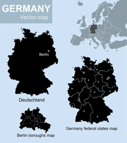
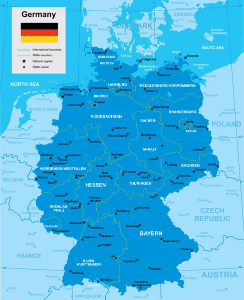
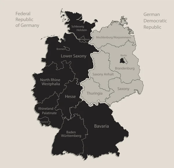
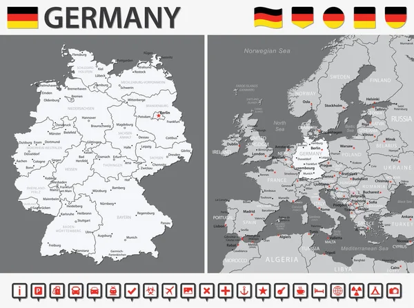
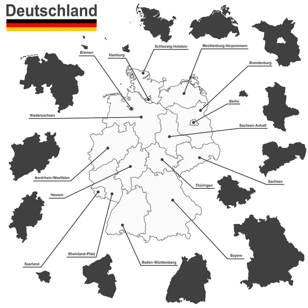
Stock image Maps of Germany, federal states and Berlin with boroughs
Published:
Jul.14, 2020 12:24:31
Author:
vabadov
Views:
3
Downloads:
0
File type:
image
/
jpg
File size:
1.17 MB
Orginal size:
3589
x
4041
px
Available sizes:
S
(444 x 500)
M
(888 x 1000)
L
(1776 x 2000)
XL
(3589 x 4041)
EL0
(3589 x 4041)
Level:
bronze
Download Image
Image topics:
Background
Graphic
Illustration
Design
High
Shape
Art
Travel
Transportation
European
Black
Silhouette
Border
Card
City
Education
World
Detailed
Capital
Europe
Raster
Country
German
District
Map
Cartography
Geography
National
Germany
Land
Political
Administrative
Union
Geographic
Republic
States
Berlin
Poland
Federal
Atlas
Bavaria
Nation
Bremen
Hamburg
Boroughs
Stock Illustration
Similar stock images
Maps Of Germany
4439 × 5000
Federal Republic Of Germany Isolated Maps And Official Flag Icon. Vector German Political Map Icons With General Information. European State Geographic Banner Template. Deutschland
4000 × 4000
Vector Map Of Germany
4872 × 5998
Black Map Of Germany Map Divided On West And East Germany With Names Of Regions, Design Blackboard Vector
4137 × 4000
Germany Political Map Divide By State Colorful Outline Simplicity Style.
3876 × 5791
Germany Map - Vector Infographic Set. Vector Illustration
7058 × 5250
Germany And Federal States
5079 × 5079
Map Of Germany - Bundesrepublik Deutschland
3770 × 5000