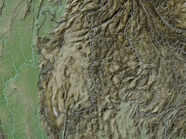
Stock image Markazi, province of Iran. Satellite imagery. Shape outlined against its country area. 3D rendering

Published: Aug.05, 2020 15:11:00
Author: Yarr65
Views: 0
Downloads: 0
File type: image / jpg
File size: 6.41 MB
Orginal size: 2880 x 1620 px
Available sizes:
Level: bronze
Similar stock images
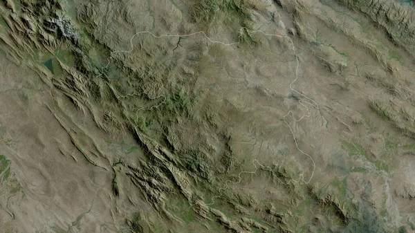
Kermanshah, Province Of Iran. Satellite Imagery. Shape Outlined Against Its Country Area. 3D Rendering
2880 × 1620
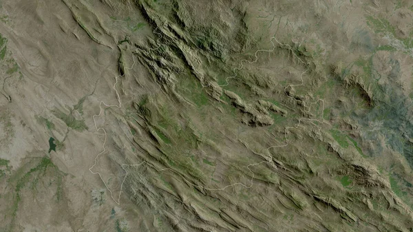
Esfahan, Province Of Iran. Satellite Imagery. Shape Outlined Against Its Country Area. 3D Rendering
2880 × 1620

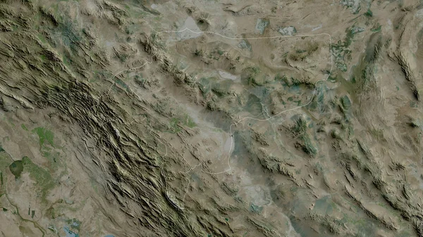
Lorestan, Province Of Iran. Satellite Imagery. Shape Outlined Against Its Country Area. 3D Rendering
2880 × 1620

Hamadan, Province Of Iran. Satellite Imagery. Shape Outlined Against Its Country Area. 3D Rendering
2880 × 1620

Bayanhongor, Province Of Mongolia. Satellite Imagery. Shape Outlined Against Its Country Area. 3D Rendering
2880 × 1620