photo free
Home Images Vectors Videos

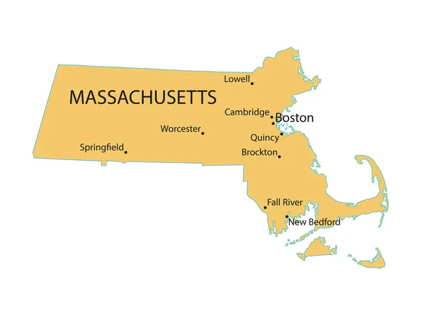
Stock image Massachusetts state, map with flag, isolated on grey, with clipping path, 3d illustration

Stock image Massachusetts state, map with flag, isolated on grey, with clipping path, 3d illustration
Published: Feb.03, 2011 09:10:17
Author: AxelWolf
Views: 1116
Downloads: 6
File type: image / jpg
File size: 2.42 MB
Orginal size: 5500 x 3400 px
Available sizes:
S
(500 x 309)
M
(1000 x 618)
L
(2000 x 1236)
XL
(5500 x 3400)
EL0
(5500 x 3400)
Level: bronze
Download Image
Image topics:

Similar stock images

stock vector blue map of Massachusetts with indication of Boston

Blue Map Of Massachusetts With Indication Of Boston

4600 × 3450
stock vector yellow map of Massachusetts

Yellow Map Of Massachusetts

4600 × 3450
stock vector The Massachusetts State County Map with labels

The Massachusetts State County Map With Labels

5000 × 3200
stock vector Massachusetts map vector illustration. Global economy. State in America. North America. United States. America. U.S.A

Massachusetts Map Vector Illustration. Global Economy. State In America. North America. United States. America. U.S.A

4000 × 4000
stock image Commonwealth of Massachusetts

Commonwealth Of Massachusetts

4300 × 2800
stock vector Massachusetts, gray political map, with capital Boston. Commonwealth of Massachusetts, MA. Most populous state in the New England region of United States. The Bay State. English. Illustration. Vector.

Massachusetts, Gray Political Map, With Capital Boston. Commonwealth Of Massachusetts, MA. Most Populous State In The New England Region Of United States. The Bay State. English. Illustration. Vector.

9000 × 5358
stock vector Massachusetts State Angled Shadow Text With Flag Icon

Massachusetts State Angled Shadow Text With Flag Icon

6344 × 10000
stock vector Map of the U.S. state of Massachusetts on a grey background. American flag, state name

Map Of The U.S. State Of Massachusetts On A Grey Background. American Flag, State Name

5000 × 5000