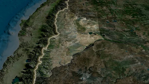
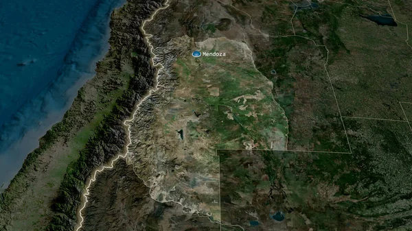
Stock image Mendoza - province of Argentina zoomed and highlighted. Satellite imagery. 3D rendering
Published: Jul.07, 2020 14:26:43
Author: Yarr65
Views: 4
Downloads: 0
File type: image / jpg
File size: 5.32 MB
Orginal size: 2880 x 1620 px
Available sizes:
Level: bronze
Similar stock images
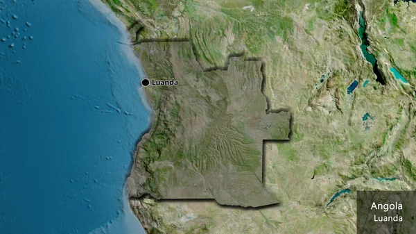
Mendoza - Province Of Argentina Zoomed And Highlighted With Capital. Satellite Imagery. 3D Rendering
2880 × 1620