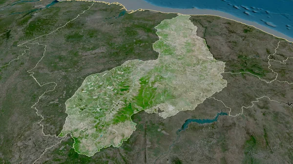
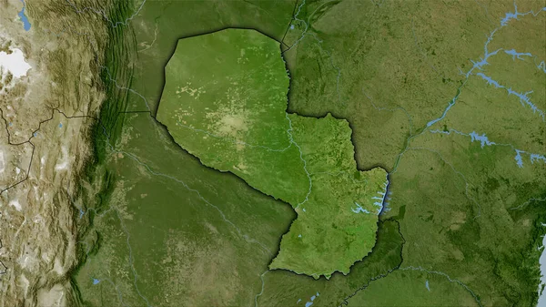
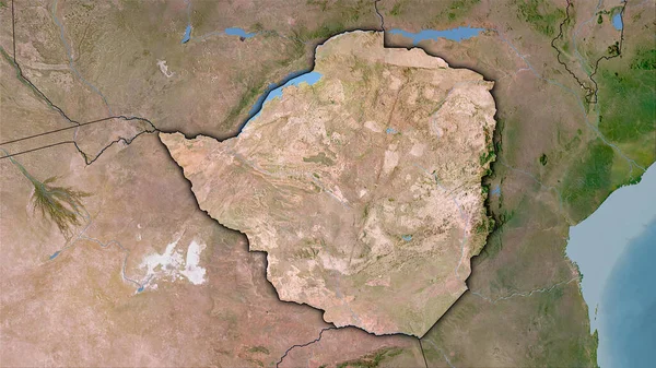
Stock image Minas Gerais - state of Brazil zoomed and highlighted. Satellite imagery. 3D rendering

Published: Aug.06, 2020 14:55:31
Author: Yarr65
Views: 0
Downloads: 0
File type: image / jpg
File size: 5.47 MB
Orginal size: 2880 x 1620 px
Available sizes:
Level: bronze