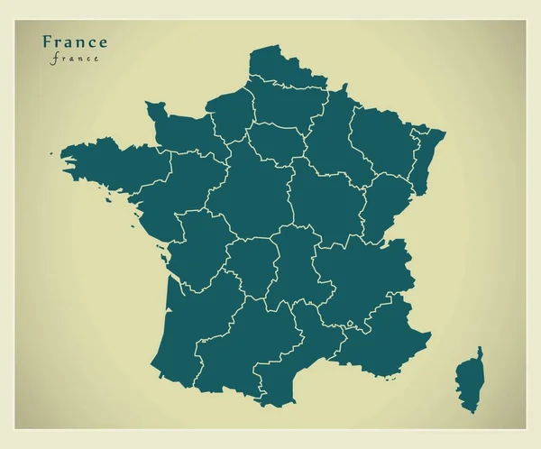
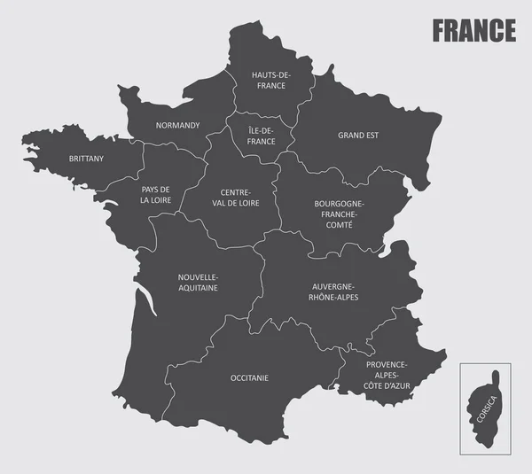
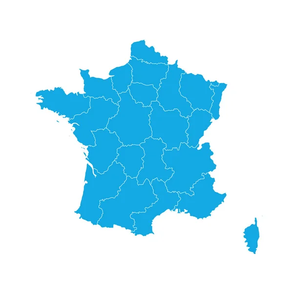
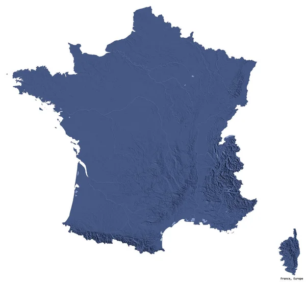
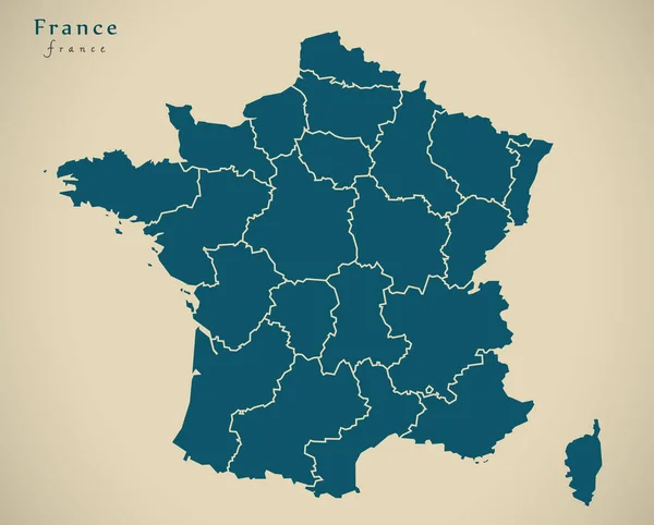
Stock image Modern Map - France with regions FR illustration
Published: Apr.03, 2020 08:27:27
Author: PantherMediaSeller
Views: 3
Downloads: 0
File type: image / jpg
File size: 0 MB
Orginal size: 5652 x 4544 px
Available sizes:
Level: platinum