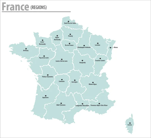
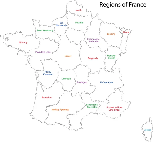
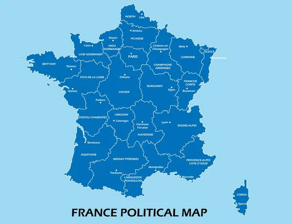
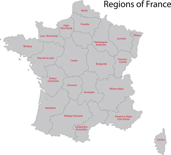
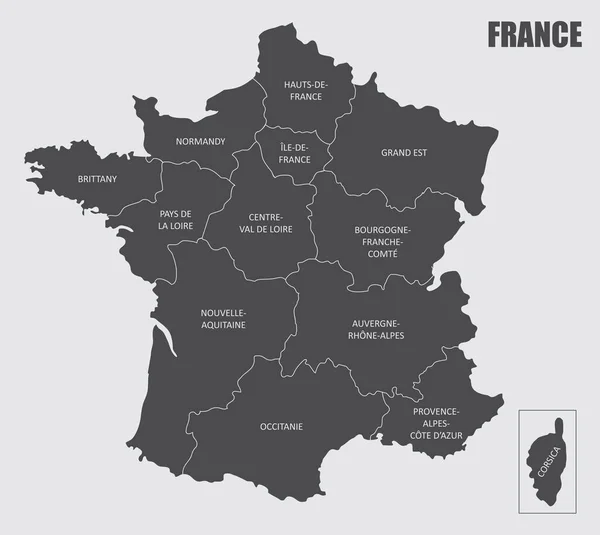
Stock vector The isolated France regions map with labels
Published: Jun.18, 2020 07:54:46
Author: luisrftc
Views: 1
Downloads: 0
File type: vector / eps
File size: 8.57 MB
Orginal size: 5600 x 5000 px
Available sizes:
Level: bronze