Home
Images
Vectors
Videos
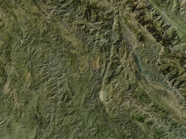
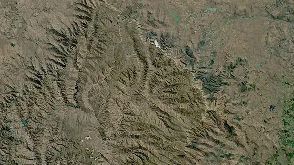
Stock image Mokhotlong, district of Lesotho. Satellite imagery. Shape outlined against its country area. 3D rendering
Published:
Aug.18, 2020 11:15:16
Author:
Yarr65
Views:
0
Downloads:
0
File type:
image
/
jpg
File size:
7.21 MB
Orginal size:
2880
x
1620
px
Available sizes:
S
(500 x 281)
M
(1000 x 563)
L
(2000 x 1125)
XL
(2880 x 1620)
EL0
(2880 x 1620)
Level:
bronze
Download Image
Image topics:
View
Shape
Travel
Nature
Border
Landscape
Glow
Contour
Scale
Earth
Planet
World
Ocean
Science
Capital
Profile
Outline
Country
District
Map
Cartography
Geography
Africa
Continent
Land
Zoom
Satellite
Region
Territory
Outlined
Atlas
Legend
Overlay
Lesotho
Maseru
3d Rendering
Subregion
Lso
Administrative Division
Mokhotlong
Similar stock images
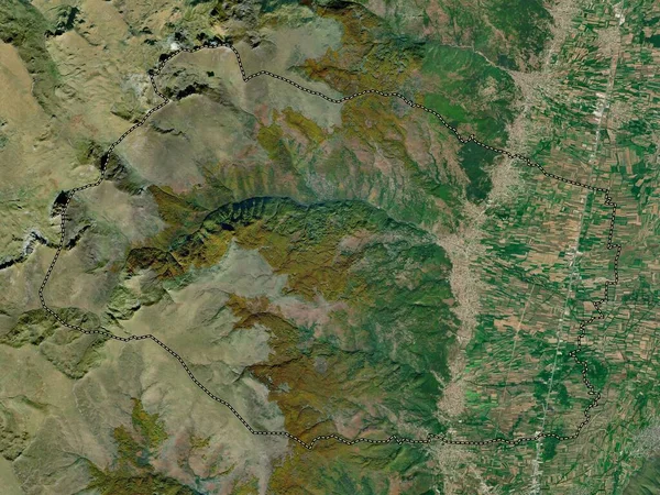
Butha-Buthe, District Of Lesotho. Satellite Imagery. Shape Outlined Against Its Country Area. 3D Rendering
2880 × 1620
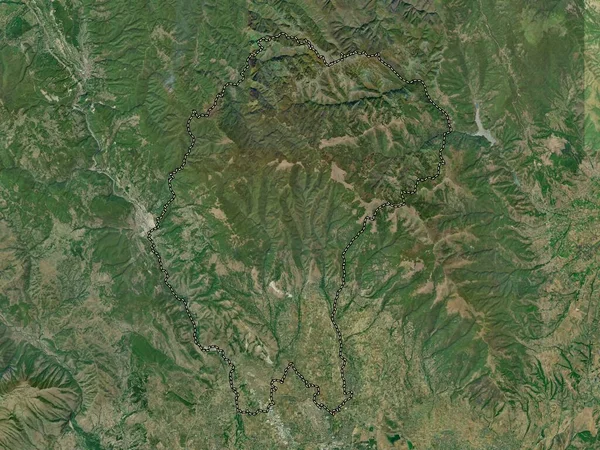
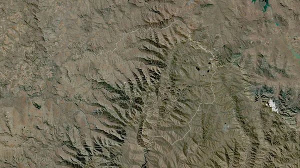
Thaba-Tseka, District Of Lesotho. Satellite Imagery. Shape Outlined Against Its Country Area. 3D Rendering
2880 × 1620
Butha-Buthe, District Of Lesotho. High Resolution Satellite Map
3840 × 2880
Ien Bien, Province Of Vietnam. Low Resolution Satellite Map
3840 × 2880
Cucer Sandevo, Municipality Of Macedonia. High Resolution Satellite Map
3840 × 2880
Maseru, District Of Lesotho. Satellite Imagery. Shape Outlined Against Its Country Area. 3D Rendering
2880 × 1620
Ha Giang, Province Of Vietnam. Low Resolution Satellite Map
3840 × 2880
Vrapciste, Municipality Of Macedonia. High Resolution Satellite Map
3840 × 2880