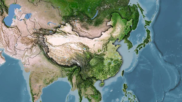
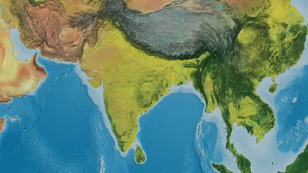
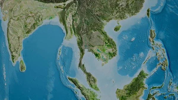
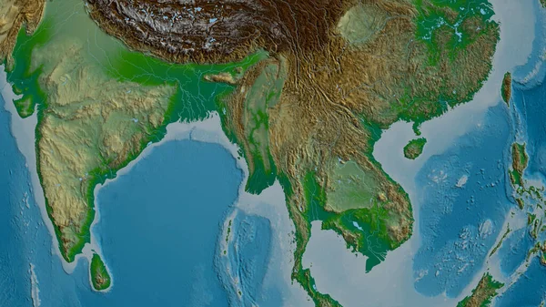
Stock image Myanmar zoomed and neighborhood. Main physical landscape features. 3D rendering
Published: Aug.28, 2020 10:14:04
Author: Yarr65
Views: 1
Downloads: 1
File type: image / jpg
File size: 4.96 MB
Orginal size: 2880 x 1620 px
Available sizes:
Level: bronze