Home
Images
Vectors
Videos
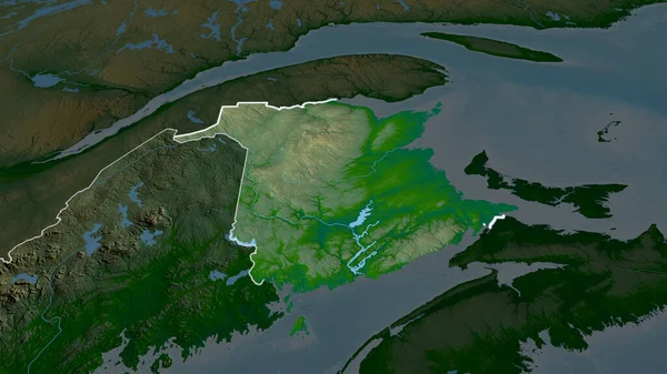
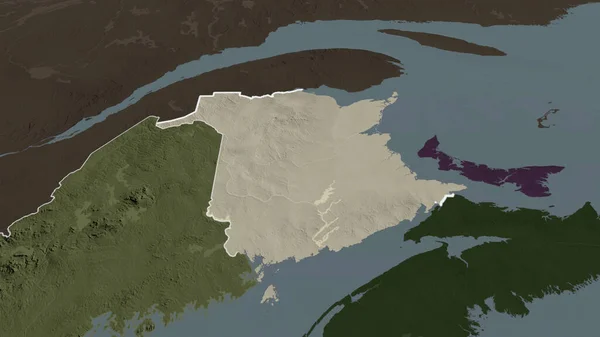
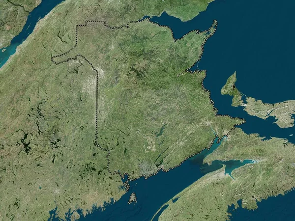
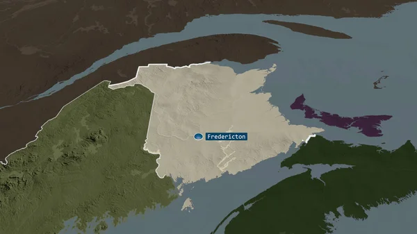
Stock image New Brunswick - province of Canada zoomed and highlighted with capital. Colored and bumped map of the administrative division. 3D rendering
Published:
Aug.21, 2020 13:00:45
Author:
Yarr65
Views:
1
Downloads:
0
File type:
image
/
jpg
File size:
2.27 MB
Orginal size:
2880
x
1620
px
Available sizes:
S
(500 x 281)
M
(1000 x 563)
L
(2000 x 1125)
XL
(2880 x 1620)
EL0
(2880 x 1620)
Level:
bronze
Download Image
Image topics:
View
Shape
Travel
Nature
Sea
Border
Landscape
Glow
Earth
Planet
World
Ocean
Science
Capital
Globe
Profile
Outline
Country
Map
Cartography
Geography
Continent
Land
Zoom
Can
Administrative
Canada
Region
Territory
Atlas
Province
Acadia
Ottawa
Overlay
3d Rendering
New Brunswick
North America
Fredericton
Nouveau Brunswick
Subregion
Administrative Division
Highlighted With Capital
Similar stock images
New Brunswick - Province Of Canada Zoomed And Highlighted With Capital. Main Physical Landscape Features. 3D Rendering
2880 × 1620
Nova Scotia - Province Of Canada Zoomed And Highlighted With Capital. Colored And Bumped Map Of The Administrative Division. 3D Rendering
2880 × 1620
New Brunswick - Province Of Canada Zoomed And Highlighted. Main Physical Landscape Features. 3D Rendering
2880 × 1620
New Brunswick - Province Of Canada Zoomed And Highlighted. Colored And Bumped Map Of The Administrative Division. 3D Rendering
2880 × 1620
Nova Scotia - Province Of Canada Zoomed And Highlighted With Capital. Main Physical Landscape Features. 3D Rendering
2880 × 1620
New Brunswick, Province Of Canada. Satellite Imagery. Shape Presented Against Its Country Area With Informative Overlays. 3D Rendering
2880 × 1620
New Brunswick, Province Of Canada. Colored Elevation Map With Lakes And Rivers
3840 × 2880
New Brunswick, Province Of Canada. High Resolution Satellite Map
3840 × 2880