Stock image North West, province of South Africa. Satellite imagery. Shape outlined against its country area. 3D rendering

Published: Sep.16, 2020 07:18:36
Author: Yarr65
Views: 4
Downloads: 0
File type: image / jpg
File size: 7.73 MB
Orginal size: 2880 x 1620 px
Available sizes:
Level: bronze
Similar stock images

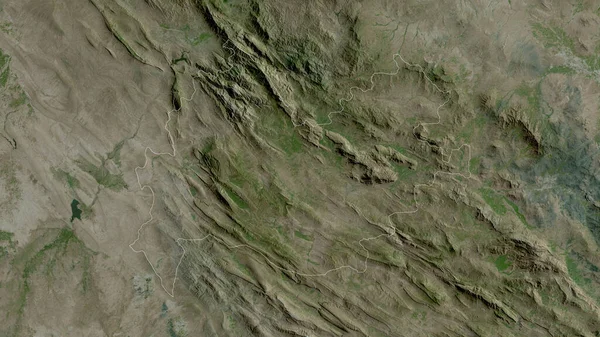
West Darfur, State Of Sudan. Satellite Imagery. Shape Outlined Against Its Country Area. 3D Rendering
2880 × 1620
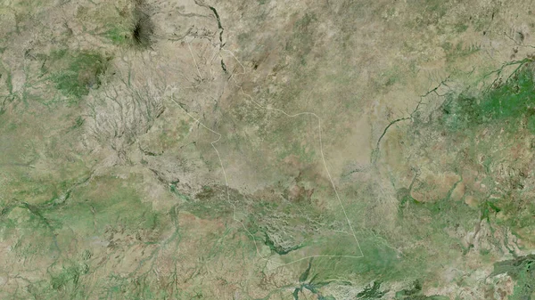
East Darfur, State Of Sudan. Satellite Imagery. Shape Outlined Against Its Country Area. 3D Rendering
2880 × 1620
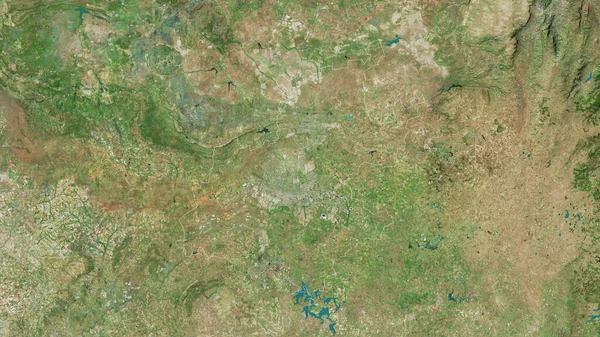
Gauteng, Province Of South Africa. Satellite Imagery. Shape Outlined Against Its Country Area. 3D Rendering
2880 × 1620

Perm', Territory Of Russia. Satellite Imagery. Shape Outlined Against Its Country Area. 3D Rendering
2880 × 1620

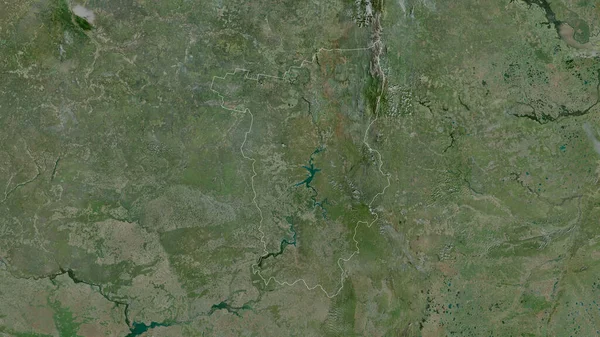
Voronezh, Region Of Russia. Satellite Imagery. Shape Outlined Against Its Country Area. 3D Rendering
2880 × 1620