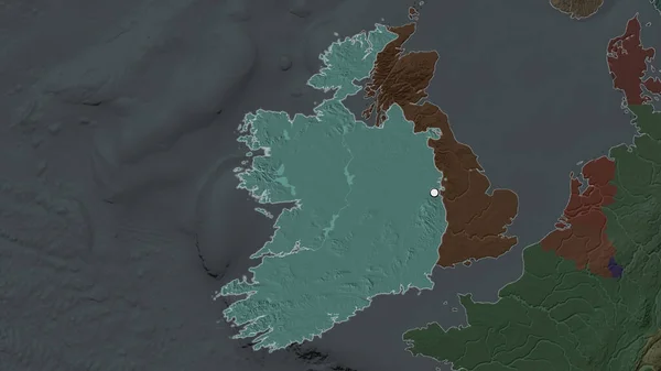
Stock image Northern Ireland - region of United Kingdom zoomed and highlighted. Colored and bumped map of the administrative division. 3D rendering

Published: Aug.04, 2020 14:00:43
Author: Yarr65
Views: 4
Downloads: 1
File type: image / jpg
File size: 2.49 MB
Orginal size: 2880 x 1620 px
Available sizes:
Level: bronze