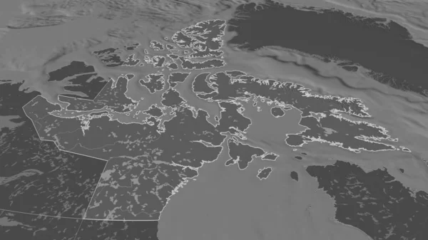
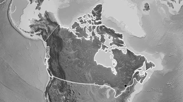
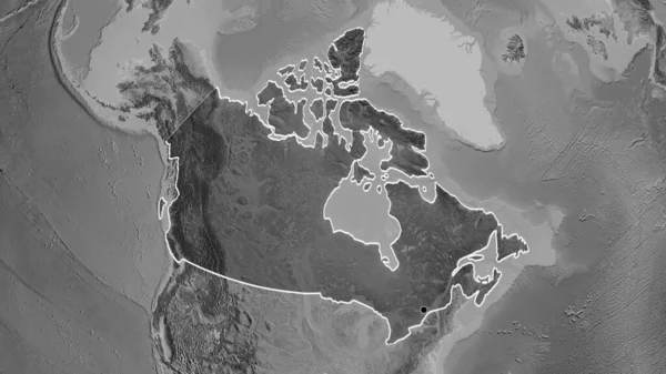
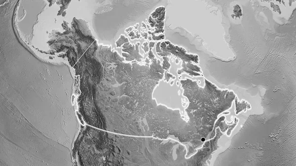
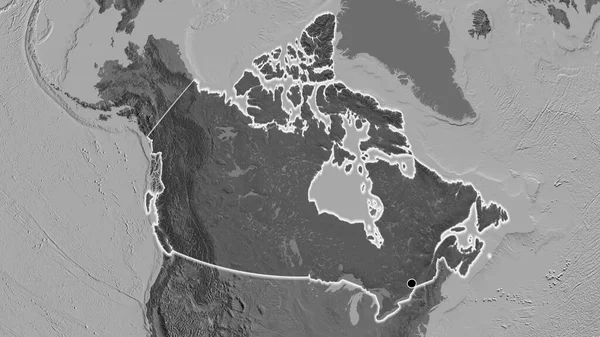
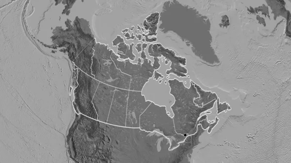
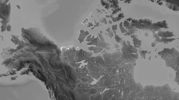
Stock image Northwest Territories, territory of Canada. Grayscaled map with lakes and rivers. Shape outlined against its country area. 3D rendering
Published: Aug.21, 2020 13:00:45
Author: Yarr65
Views: 13
Downloads: 1
File type: image / jpg
File size: 2.1 MB
Orginal size: 2880 x 1620 px
Available sizes:
Level: bronze