photo free
Home Images Vectors Videos

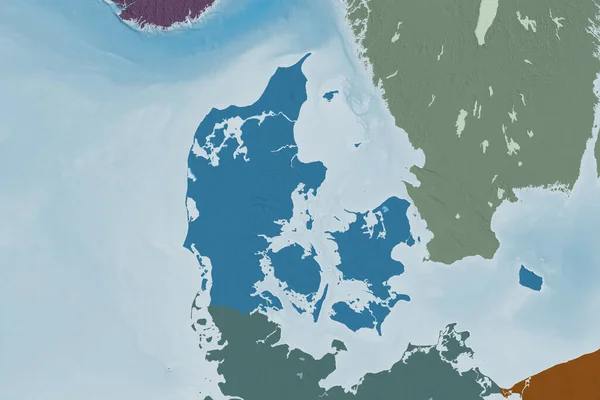
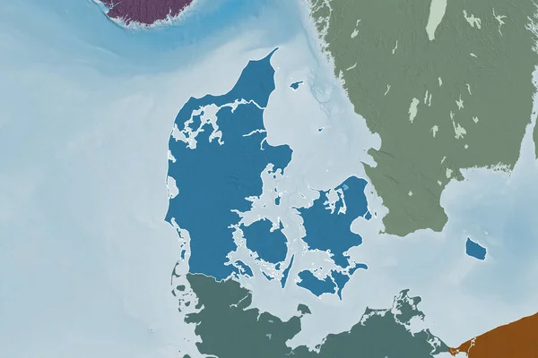
Stock image Outlined shape of the Denmark area. Colored and bumped map of the administrative division with surface waters. 3D rendering
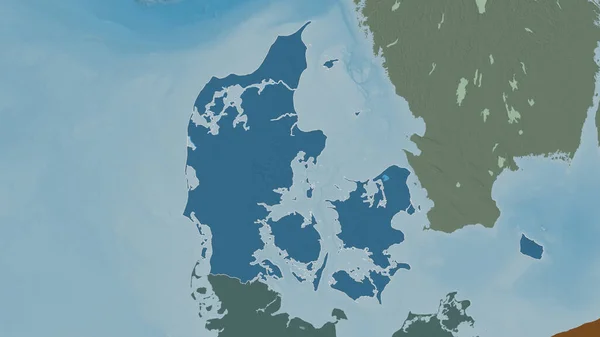
Stock image Outlined shape of the Denmark area. Colored and bumped map of the administrative division with surface waters. 3D rendering
Published: Aug.26, 2020 14:23:12
Author: Yarr65
Views: 2
Downloads: 0
File type: image / jpg
File size: 1.39 MB
Orginal size: 3840 x 2160 px
Available sizes:
S
(500 x 281)
M
(1000 x 563)
L
(2000 x 1125)
XL
(3840 x 2160)
EL0
(3840 x 2160)
Level: bronze
Download Image
Image topics:

Similar stock images

stock image Outlined shape of the Denmark area. Topographic relief map with surface waters. 3D rendering

Outlined Shape Of The Denmark Area. Topographic Relief Map With Surface Waters. 3D Rendering

3840 × 2160
stock image Extended area of Denmark. Colored elevation map. 3D rendering

Extended Area Of Denmark. Colored Elevation Map. 3D Rendering

3000 × 2000
stock image Precipitation of driest month  within the Denmark area in the stereographic projection with legend - raw composition of raster layers with dark glowing outline

Precipitation Of Driest Month Within The Denmark Area In The Stereographic Projection With Legend - Raw Composition Of Raster Layers With Dark Glowing Outline

2880 × 1620
stock image Extended area of outlined Denmark. Topographic relief map. 3D rendering

Extended Area Of Outlined Denmark. Topographic Relief Map. 3D Rendering

3000 × 2000
stock image Extended area of outlined Denmark. Colored elevation map. 3D rendering

Extended Area Of Outlined Denmark. Colored Elevation Map. 3D Rendering

3000 × 2000
stock image Extended area of Denmark with country outline, international and regional borders. Topographic relief map. 3D rendering

Extended Area Of Denmark With Country Outline, International And Regional Borders. Topographic Relief Map. 3D Rendering

3000 × 2000
stock image Extended area of Denmark with country outline, international and regional borders. Colored elevation map. 3D rendering

Extended Area Of Denmark With Country Outline, International And Regional Borders. Colored Elevation Map. 3D Rendering

3000 × 2000
stock image Denmark area on the topographic relief map in the stereographic projection - raw composition of raster layers

Denmark Area On The Topographic Relief Map In The Stereographic Projection - Raw Composition Of Raster Layers

2880 × 1620