Home
Images
Vectors
Videos
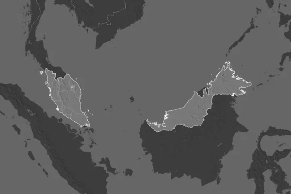
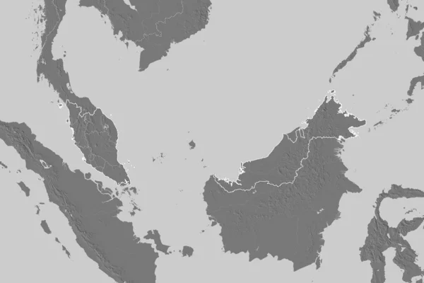
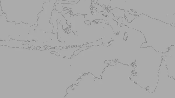
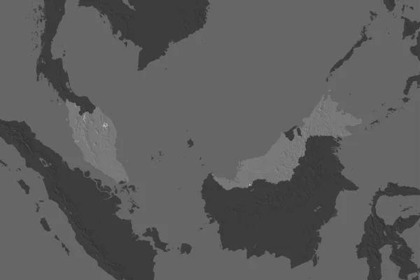
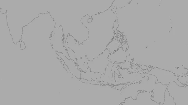
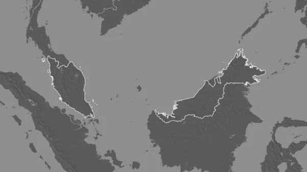
Stock image Outlined shape of the Malaysia area. Bilevel elevation map with surface waters. 3D rendering
Published:
Jul.07, 2020 14:14:53
Author:
Yarr65
Views:
2
Downloads:
0
File type:
image
/
jpg
File size:
0.78 MB
Orginal size:
3840
x
2160
px
Available sizes:
S
(500 x 281)
M
(1000 x 563)
L
(2000 x 1125)
XL
(3840 x 2160)
EL0
(3840 x 2160)
Level:
bronze
Download Image
Image topics:
View
Shape
Travel
Nature
Sea
Border
Landscape
Earth
Planet
World
Ocean
Science
Capital
Globe
Profile
Country
Map
Cartography
Geography
Continent
Land
Overview
Zoom
Asia
Region
Malaysia
Territory
Atlas
Overlay
3d Rendering
Kuala Lumpur
Subregion
Mys
Bilevel
Administrative Division
Similar stock images
Shape Of Malaysia Separated By The Desaturation Of Neighboring Areas. Borders. Bilevel Elevation Map. 3D Rendering
3000 × 2000
Extended Area Of Outlined Malaysia. Bilevel Elevation Map. 3D Rendering
3000 × 2000
Extended Area Of Malaysia With Country Outline, International And Regional Borders. Bilevel Elevation Map. 3D Rendering
3000 × 2000
Shoreline Of Areas Adjacent To The Timor Tectonic Plate. Van Der Grinten I Projection (oblique Transformation)
2880 × 1620
Shape Of Papua New Guinea Separated By The Desaturation Of Neighboring Areas. Bilevel Elevation Map. 3D Rendering
3000 × 2000
Shape Of Malaysia Separated By The Desaturation Of Neighboring Areas. Bilevel Elevation Map. 3D Rendering
3000 × 2000
Shoreline Of Areas Adjacent To The Sunda Tectonic Plate. Van Der Grinten I Projection (oblique Transformation)
2880 × 1620
Shoreline Of Areas Adjacent To The Philippine Sea Tectonic Plate. Van Der Grinten I Projection (oblique Transformation)
2880 × 1620