Home
Images
Vectors
Videos
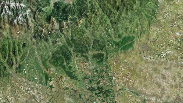
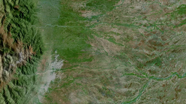
Stock image Pasco, region of Peru. Satellite imagery. Shape outlined against its country area. 3D rendering
Published:
Sep.16, 2020 07:03:00
Author:
Yarr65
Views:
0
Downloads:
0
File type:
image
/
jpg
File size:
7.42 MB
Orginal size:
2880
x
1620
px
Available sizes:
S
(500 x 281)
M
(1000 x 563)
L
(2000 x 1125)
XL
(2880 x 1620)
EL0
(2880 x 1620)
Level:
bronze
Download Image
Image topics:
View
Shape
Travel
Nature
Border
Landscape
Glow
Contour
Scale
Earth
Planet
World
Ocean
Science
Capital
Profile
Outline
Country
Map
Cartography
Geography
Continent
Land
Zoom
Satellite
Region
Territory
Outlined
Atlas
Legend
Overlay
Lima
Peru
Per
Pasco
3d Rendering
South America
Subregion
Cerro De Pasco
Administrative Division
Similar stock images
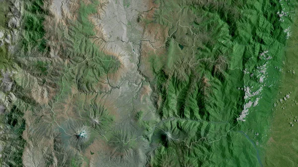
Pichincha, Province Of Ecuador. Satellite Imagery. Shape Outlined Against Its Country Area. 3D Rendering
2880 × 1620
Azad Kashmir, Centrally Administered Area Of Pakistan. Satellite Imagery. Shape Outlined Against Its Country Area. 3D Rendering
2880 × 1620
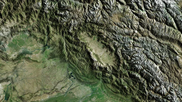
Arauca, Intendancy Of Colombia. Satellite Imagery. Shape Outlined Against Its Country Area. 3D Rendering
2880 × 1620
North-Western, Province Of Zambia. Satellite Imagery. Shape Outlined Against Its Country Area. 3D Rendering
2880 × 1620
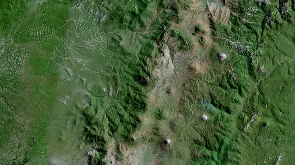
Quindio, Department Of Colombia. Satellite Imagery. Shape Outlined Against Its Country Area. 3D Rendering
2880 × 1620
Prahova, County Of Romania. Satellite Imagery. Shape Outlined Against Its Country Area. 3D Rendering
2880 × 1620
Baja Verapaz, Department Of Guatemala. Satellite Imagery. Shape Outlined Against Its Country Area. 3D Rendering
2880 × 1620
Tungurahua, Province Of Ecuador. Satellite Imagery. Shape Outlined Against Its Country Area. 3D Rendering
2880 × 1620