Home
Images
Vectors
Videos
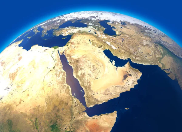
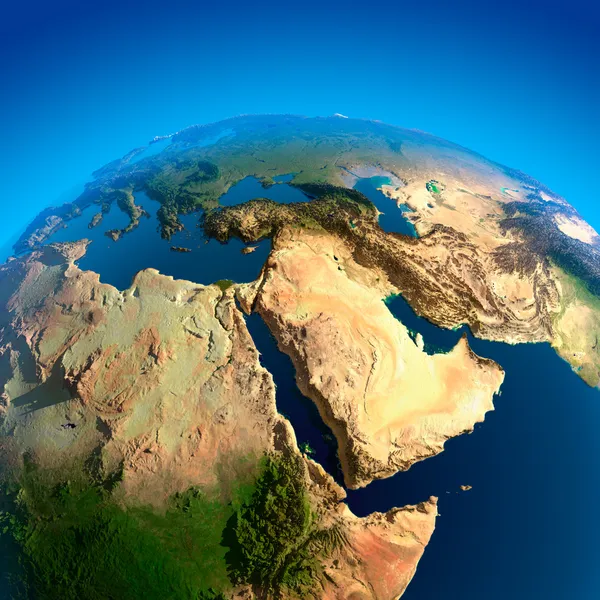
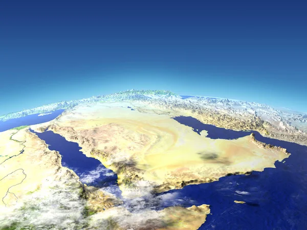
Stock image Physical map of the world, satellite view of the Middle East. Africa, Asia. Globe. Hemisphere. Reliefs and oceans. 3d rendering. Elements of this image are furnished by NASA
Published:
Dec.26, 2018 11:51:49
Author:
vampy1
Views:
246
Downloads:
14
File type:
image
/
jpg
File size:
10.78 MB
Orginal size:
5511
x
4000
px
Available sizes:
S
(500 x 363)
M
(1000 x 726)
L
(2000 x 1452)
XL
(5511 x 4000)
EL0
(5511 x 4000)
Level:
silver
Download Image
Image topics:
Graphic
Illustration
Isolated
Art
Sea
Border
Physical
Earth
Planet
World
Ocean
North
Globe
East
South
Country
Map
Cartography
Geography
Africa
Continent
Egypt
Land
Mediterranean
Turkey
Asia
Middle
America
Countries
Australia
Atlantic
Israel
Iraq
Jordan
Continents
Oceania
Arabia
Dubai
Yemen
Syria
Lebanon
Oman
Iran
Kuwait
3d Rendering
Middle East
Saudi Arabia
Physical Geography
Satellite View
Similar stock images
View Of The Middle East From Space
5000 × 5000
Map Of The Arabian Peninsula, Middle East Physical Map, 3d Render, Map With Relief And Mountains. Arabian Sea, Red Sea And Persian Gulf. Saudi Arabia, United Arab Emirates, Iran, Afghanistan. Elements Of This Image Are Furnished By Nasa
4817 × 4817
Arab Peninsula From Space
5000 × 3750
Lebanon On Planet Earth With Country Borders And Highly Detailed Planet Surface And Clouds. 3D Illustration. Elements Of This Image Furnished By NASA.
5000 × 3750
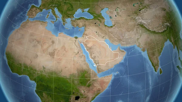
Egypt. Neighborhood - Distant Perspective With Outline Of The Country. Satellite Imagery
2880 × 1620
Arab Peninsula From Space
5000 × 3750
Saudi Arabia. Neighborhood - Distant Perspective With Outline Of The Country. Satellite Imagery
2880 × 1620
Egypt. Neighborhood - Distant Perspective Without Outline. Satellite Imagery
2880 × 1620