Home
Images
Vectors
Videos
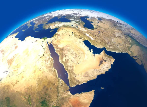
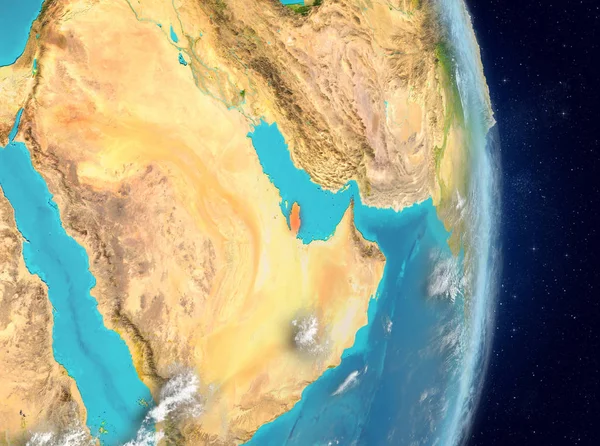
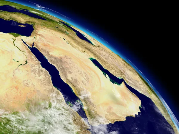
Stock image View of the Middle East from Space
Published:
Oct.11, 2010 10:24:24
Author:
Antartis
Views:
3242
Downloads:
78
File type:
image
/
jpg
File size:
12.56 MB
Orginal size:
5000
x
5000
px
Available sizes:
S
(500 x 500)
M
(1000 x 1000)
L
(2000 x 2000)
XL
(5000 x 5000)
EL0
(5000 x 5000)
Level:
silver
Download Image
Image topics:
Image
View
High
Space
Sky
Reflection
Travel
Water
Air
Transportation
Mountain
Sea
Global
Horizon
Earth
Planet
World
Ocean
Scenic
Surface
Tourism
Relief
Globe
Atmosphere
East
Fly
Heaven
Navigation
Elevation
Journey
West
Cartography
Geography
Continent
Egypt
Land
Flight
Trip
Haze
Stratosphere
Other
Middle
Resolution
Countries
Of
Spherical
Aerial
Satellite
The
Iraq
Similar stock images
Physical Map Of The World, Satellite View Of The Middle East. Africa, Asia. Globe. Hemisphere. Reliefs And Oceans. 3d Rendering. Elements Of This Image Are Furnished By NASA
5511 × 4000
Lebanon On Planet Earth With Country Borders And Highly Detailed Planet Surface And Clouds. 3D Illustration. Elements Of This Image Furnished By NASA.
5000 × 3750
Map Of The Arabian Peninsula, Middle East Physical Map, 3d Render, Map With Relief And Mountains. Arabian Sea, Red Sea And Persian Gulf. Saudi Arabia, United Arab Emirates, Iran, Afghanistan. Elements Of This Image Are Furnished By Nasa
4817 × 4817
Arab Peninsula From Space
5000 × 3750
Georgia On Planet Earth
6250 × 5000
Arab Peninsula From Space
5000 × 3750
Space View Of Qatar Highlighted In Red On Planet Earth With Atmosphere. 3D Illustration. Elements Of This Image Furnished By NASA.
5000 × 3722
Arabian Peninsula From Space
5000 × 3750