photo free
Home Images Vectors Videos

Stock image Planet Earth landforms

Stock image Planet Earth landforms
Published: Jul.14, 2015 08:48:42
Author: titoOnz
Views: 366
Downloads: 21
File type: image / jpg
File size: 9.16 MB
Orginal size: 6500 x 6500 px
Available sizes:
S
(500 x 500)
M
(1000 x 1000)
L
(2000 x 2000)
XL
(6500 x 6500)
EL0
(6500 x 6500)
Level: silver
Download Image
Image topics:

Similar stock images

stock image EMEA region on physical map

EMEA Region On Physical Map

5000 × 5000
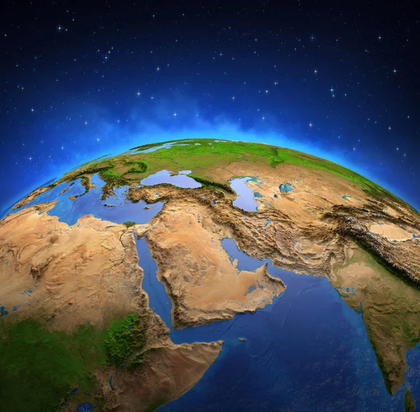
stock image Surface of Planet Earth viewed from a satellite, focused on Middle East. Physical map of Persian Gulf. 3D illustration - Elements of this image furnished by NASA.

Surface Of Planet Earth Viewed From A Satellite, Focused On Middle East. Physical Map Of Persian Gulf. 3D Illustration - Elements Of This Image Furnished By NASA.

7300 × 7173
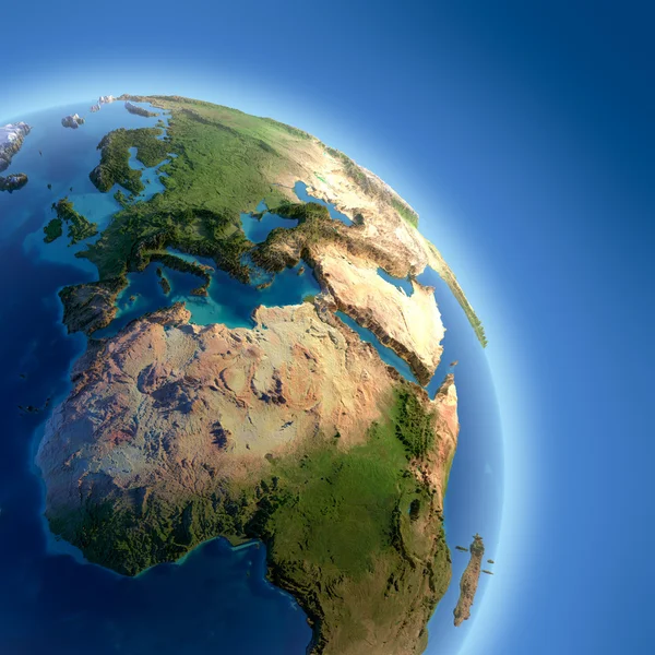
stock image Earth with high relief, illuminated by the sun

Earth With High Relief, Illuminated By The Sun

5000 × 5000
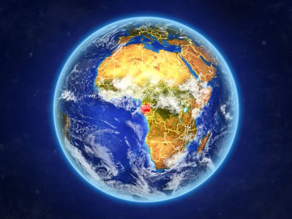
stock image Gabon from space. Planet Earth with country borders and extremely high detail of planet surface and clouds. 3D illustration. Elements of this image furnished by NASA.

Gabon From Space. Planet Earth With Country Borders And Extremely High Detail Of Planet Surface And Clouds. 3D Illustration. Elements Of This Image Furnished By NASA.

5000 × 3750
stock image Africa from space

Africa From Space

5000 × 5709
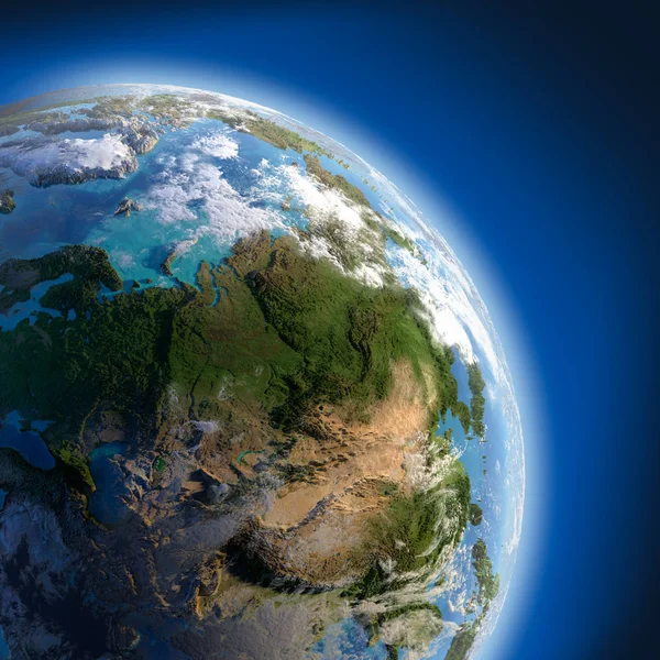
stock image A fragment of the Earth with high relief, detailed surface, translucent ocean and atmosphere, illuminated by sunlight

A Fragment Of The Earth With High Relief, Detailed Surface, Translucent Ocean And Atmosphere, Illuminated By Sunlight

5000 × 5000
stock image Africa from space

Africa From Space

5000 × 5000
stock image Africa on realistic model of Earth

Africa On Realistic Model Of Earth

5000 × 5000