photo free
Home Images Vectors Videos

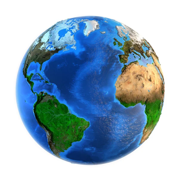
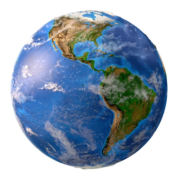
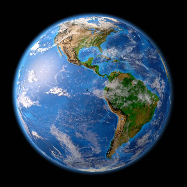
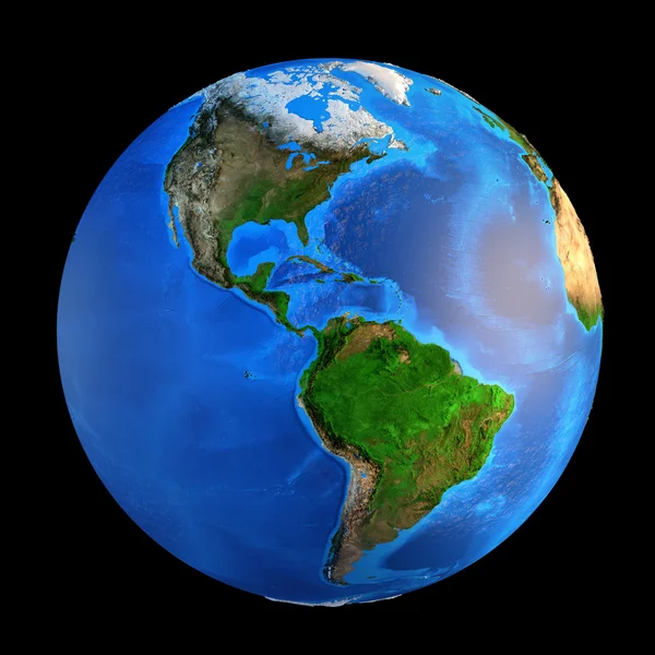
Stock image Planet Earth Landforms

stock image Sunrise over the Earth

Sunrise Over The Earth

Image, 7.16MB, 7340 × 5126 jpg
stock image Planet Earth landforms

Planet Earth Landforms

Image, 12.79MB, 7500 × 7500 jpg
stock image Planet Earth landforms

Planet Earth Landforms

Image, 10.68MB, 6500 × 6500 jpg
stock image Sunrise over the Earth

Sunrise Over The Earth

Image, 7.87MB, 7340 × 5126 jpg
stock image Planet Earth in high resolution

Planet Earth In High Resolution

Image, 13.74MB, 8350 × 8350 jpg
stock image Planet Earth and sunrise. Europe and Asia from space.

Planet Earth And Sunrise. Europe And Asia From Space.

Image, 8.4MB, 7340 × 5255 jpg
stock image Planet Earth in space, focused on Europe and Asia. 3D illustration - Elements of this image furnished by NASA.

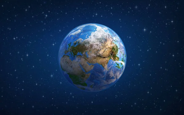
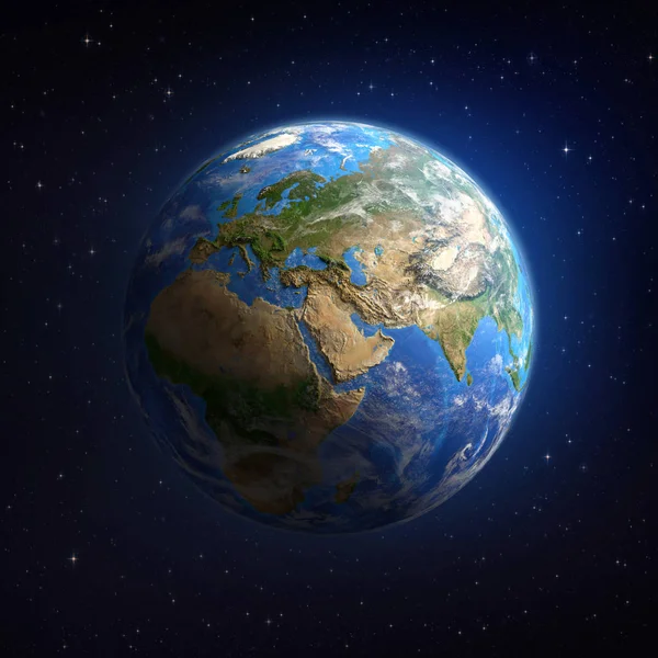
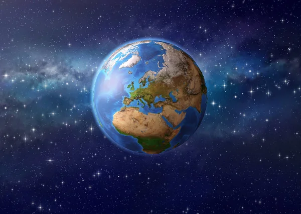
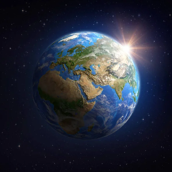
Planet Earth In Space, Focused On Europe And Asia. 3D Illustration - Elements Of This Image Furnished By NASA.

Image, 4.03MB, 7340 × 4586 jpg
stock image Planet earth in outer space

Planet Earth In Outer Space

Image, 4.29MB, 8155 × 4962 jpg
stock image Eurasia - High resolution map of Europe and Asia

Eurasia - High Resolution Map Of Europe And Asia

Image, 22.2MB, 11000 × 4492 jpg
stock image Planet Earth in high resolution

Planet Earth In High Resolution

Image, 14.91MB, 8350 × 8350 jpg
stock image Planet Earth in high resolution

Planet Earth In High Resolution

Image, 13.21MB, 8350 × 8350 jpg
stock image Planet Earth in outer space

Planet Earth In Outer Space

Image, 6.73MB, 7000 × 7000 jpg
stock image Planet Earth. Europe, Africa and Asia from space.

Planet Earth. Europe, Africa And Asia From Space.

Image, 4MB, 7340 × 5126 jpg
stock image Geographical map of North America, Western Europe and North Africa and. Detailed flat view of the Planet Earth and its landforms. 3D illustration - Elements of this image furnished by NASA

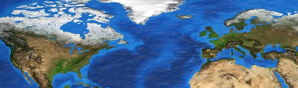
Geographical Map Of North America, Western Europe And North Africa And. Detailed Flat View Of The Planet Earth And Its Landforms. 3D Illustration - Elements Of This Image Furnished By NASA

Image, 19.42MB, 12500 × 3700 jpg
stock image Physical map of England, Britain and Ireland. Detailed flat view of the Planet Earth and its landforms. 3D illustration - Elements of this image furnished by NASA

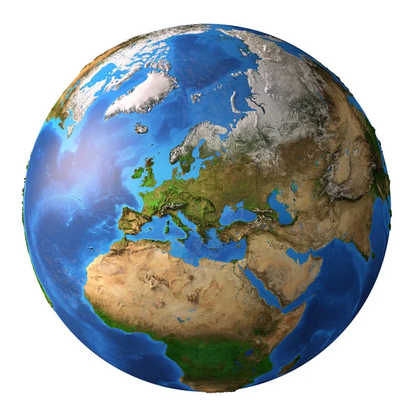
Physical Map Of England, Britain And Ireland. Detailed Flat View Of The Planet Earth And Its Landforms. 3D Illustration - Elements Of This Image Furnished By NASA

Image, 10.81MB, 5000 × 5500 jpg
stock image Planet Earth, the moon and the sun in deep space.

Planet Earth, The Moon And The Sun In Deep Space.

Image, 3.96MB, 7340 × 5126 jpg
stock image Planet earth in outer space

Planet Earth In Outer Space

Image, 6.92MB, 8585 × 6109 jpg
stock image Planet Earth in high resolution

Planet Earth In High Resolution

Image, 12.59MB, 8350 × 8350 jpg
stock image Planet Earth landforms

Planet Earth Landforms

Image, 11.7MB, 7500 × 7500 jpg
stock image Planet Earth landforms

Planet Earth Landforms

Image, 13.54MB, 7500 × 7500 jpg
stock image Planet Earth landforms

Planet Earth Landforms

Image, 12.81MB, 7500 × 7500 jpg
stock image Planet Earth landforms

Planet Earth Landforms

Image, 12.01MB, 7500 × 7500 jpg
stock image Planet Earth landforms

Planet Earth Landforms

Image, 11.18MB, 7500 × 7500 jpg
stock image Sun shining over the Earth from space

Sun Shining Over The Earth From Space

Image, 6.67MB, 7000 × 7000 jpg
stock image Arctic region viewed from a satellite. Physical map of North Pole in winter, february. 3D illustration of planet Earth isolated on white, with high bump effect - Elements of this image furnished by NASA.

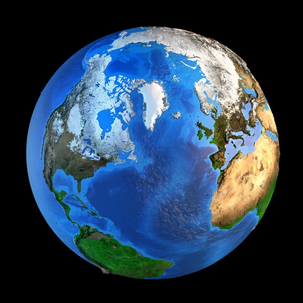
Arctic Region Viewed From A Satellite. Physical Map Of North Pole In Winter, February. 3D Illustration Of Planet Earth Isolated On White, With High Bump Effect - Elements Of This Image Furnished By NASA.

Image, 10.19MB, 7000 × 7000 jpg
stock image Sun shining over the Earth from space

Sun Shining Over The Earth From Space

Image, 7.5MB, 6500 × 6500 jpg
stock image Sun shining over the Earth from space

Sun Shining Over The Earth From Space

Image, 7.75MB, 6500 × 6500 jpg
stock image Planet Earth. Europe and Asia from space.

Planet Earth. Europe And Asia From Space.

Image, 8.71MB, 7340 × 5255 jpg
stock image Surface of the Earth from space

Surface Of The Earth From Space

Image, 7.73MB, 6500 × 6500 jpg
stock image Surface of the Planet Earth viewed from a satellite, focused on North America, sun rising on the horizon. Physical map of The United States USA and Canada. 3D illustration - Elements of this image furnished by NASA.

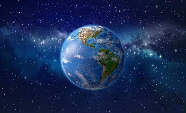
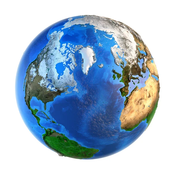
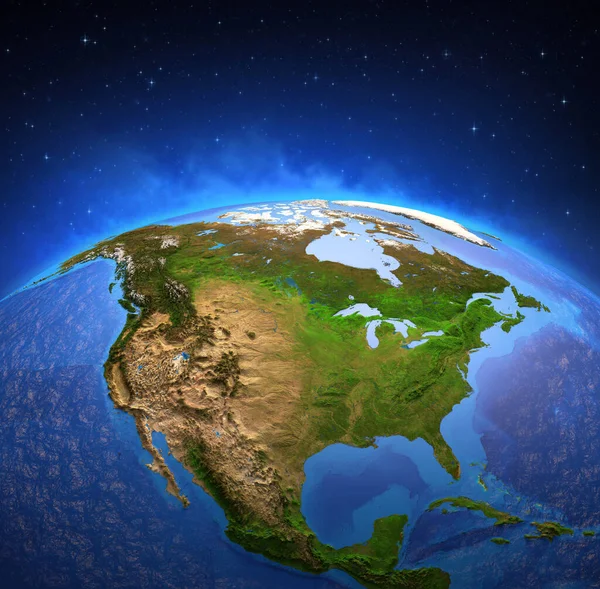
Surface Of The Planet Earth Viewed From A Satellite, Focused On North America, Sun Rising On The Horizon. Physical Map Of The United States USA And Canada. 3D Illustration - Elements Of This Image Furnished By NASA.

Image, 16.01MB, 7300 × 7173 jpg
stock image Planet Earth high definition

Planet Earth High Definition

Image, 15.55MB, 8500 × 8500 jpg
stock image Planet Earth landforms from a Northern perspective

Planet Earth Landforms From A Northern Perspective

Image, 13.7MB, 7500 × 7500 jpg
stock image Surface of the Earth from space

Surface Of The Earth From Space

Image, 7.53MB, 6500 × 6500 jpg
stock image Sun shining over the Earth from space

Sun Shining Over The Earth From Space

Image, 7.71MB, 6500 × 6500 jpg
stock image Planet Earth landforms

Planet Earth Landforms

Image, 12.84MB, 7500 × 7500 jpg
stock image Planet Earth landforms

Planet Earth Landforms

Image, 9.16MB, 6500 × 6500 jpg
stock image Surface of the Planet Earth viewed from a satellite, focused on Europe and Middle East. Physical map of the World. 3D illustration - Elements of this image furnished by NASA

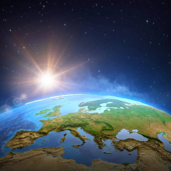
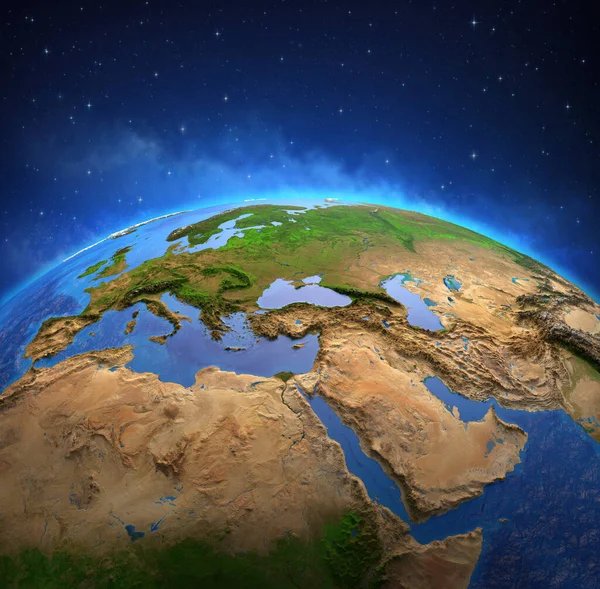
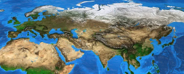
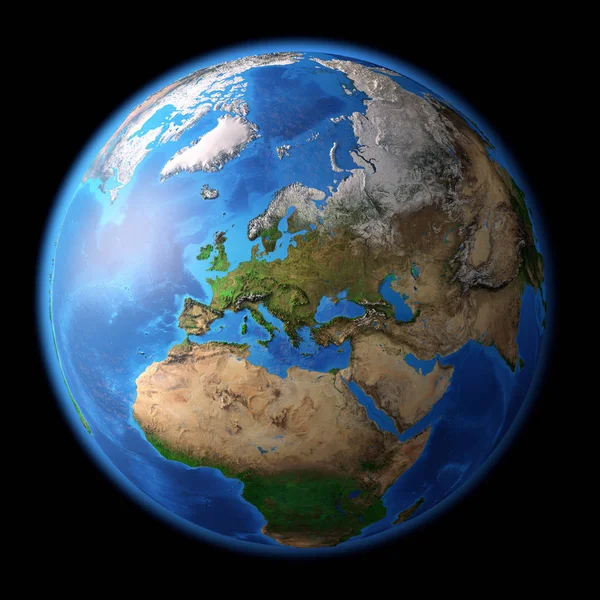
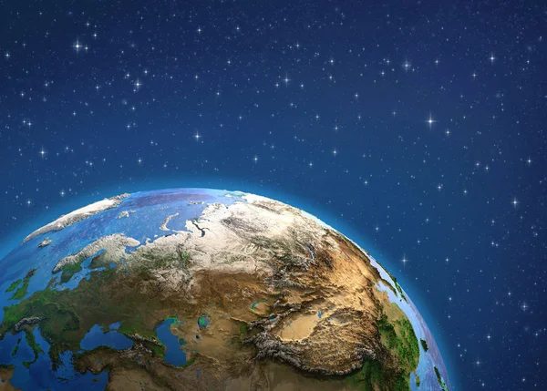
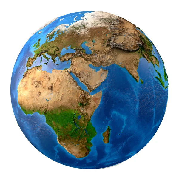
Surface Of The Planet Earth Viewed From A Satellite, Focused On Europe And Middle East. Physical Map Of The World. 3D Illustration - Elements Of This Image Furnished By NASA

Image, 15.71MB, 7300 × 7173 jpg
stock image Planet Earth high definition

Planet Earth High Definition

Image, 17.05MB, 8500 × 8500 jpg
stock image Planet Earth. North America from space.

Planet Earth. North America From Space.

Image, 7.32MB, 7340 × 5126 jpg
stock image Sun shining over Australia from space

Sun Shining Over Australia From Space

Image, 5.15MB, 6884 × 5562 jpg
stock image Surface of the Planet Earth viewed from a satellite, focused on East Asia, sun rising on the horizon. Physical map of China and Mongolia. 3D illustration - Elements of this image furnished by NASA.

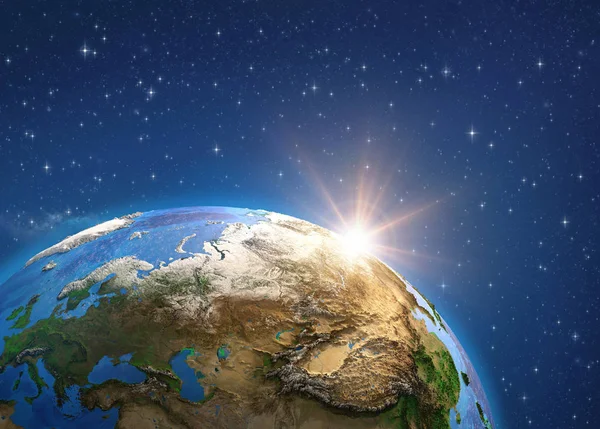
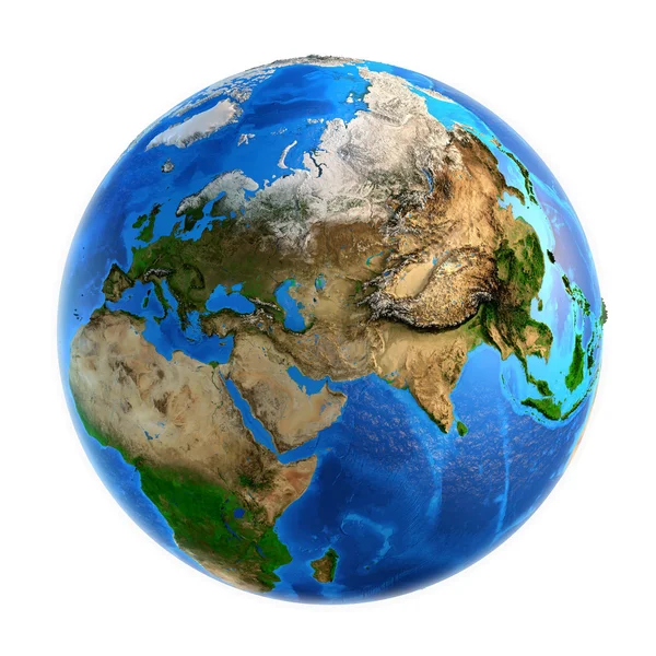
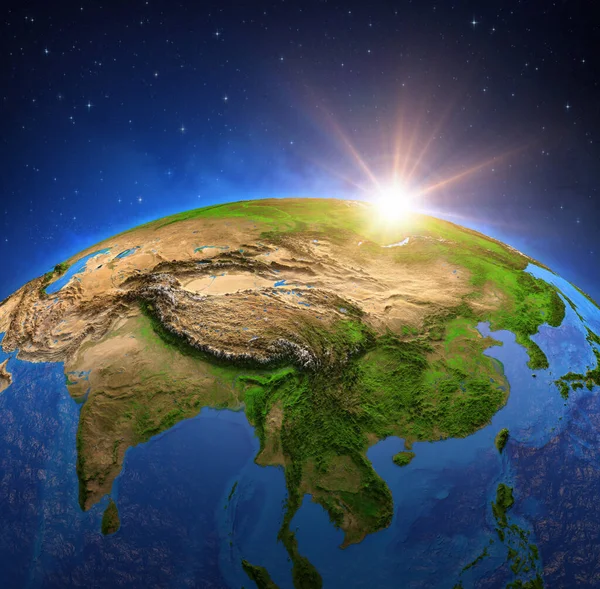
Surface Of The Planet Earth Viewed From A Satellite, Focused On East Asia, Sun Rising On The Horizon. Physical Map Of China And Mongolia. 3D Illustration - Elements Of This Image Furnished By NASA.

Image, 5.71MB, 7340 × 5126 jpg
stock image Surface of Planet Earth viewed from a satellite, focused on North America. Physical map of The United States USA and Canada. 3D illustration - Elements of this image furnished by NASA.

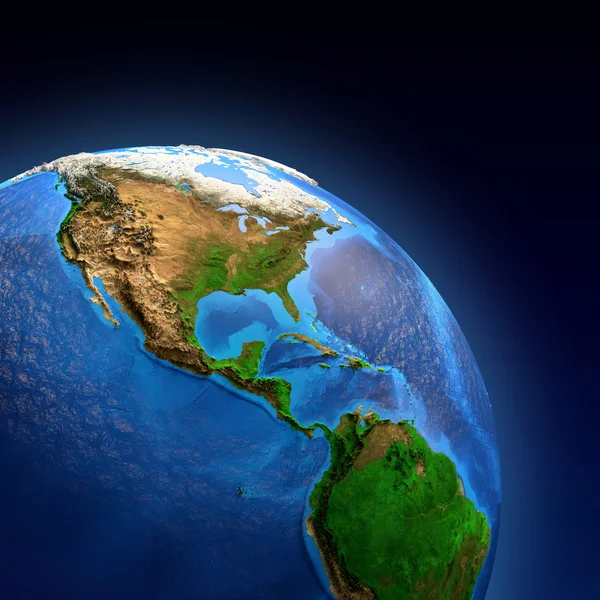
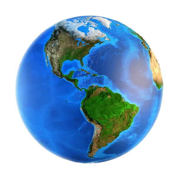
Surface Of Planet Earth Viewed From A Satellite, Focused On North America. Physical Map Of The United States USA And Canada. 3D Illustration - Elements Of This Image Furnished By NASA.

Image, 16.38MB, 7300 × 7173 jpg
stock image Planet Earth. Europe from space.

Planet Earth. Europe From Space.

Image, 6.61MB, 7340 × 5126 jpg
stock image Planet Earth landforms from a Northern perspective

Planet Earth Landforms From A Northern Perspective

Image, 13.54MB, 7500 × 7500 jpg
stock image Surface of Planet Earth viewed from a satellite, focused on East Asia, sun rising on the horizon. Physical map of China and Mongolia. 3D illustration - Elements of this image furnished by NASA.

Surface Of Planet Earth Viewed From A Satellite, Focused On East Asia, Sun Rising On The Horizon. Physical Map Of China And Mongolia. 3D Illustration - Elements Of This Image Furnished By NASA.

Image, 15.66MB, 7300 × 7173 jpg
stock image Surface of Planet Earth viewed from a satellite, focused on Australia. Physical map of the Australian continent. 3D illustration - Elements of this image furnished by NASA.

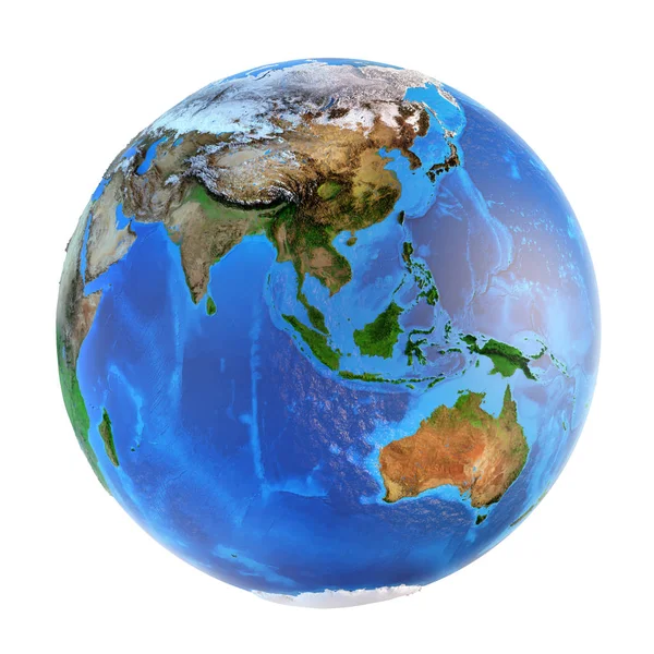
Surface Of Planet Earth Viewed From A Satellite, Focused On Australia. Physical Map Of The Australian Continent. 3D Illustration - Elements Of This Image Furnished By NASA.

Image, 12.36MB, 7300 × 7173 jpg
stock image Sunrise over African Earth

Sunrise Over African Earth

Image, 4.75MB, 7000 × 5609 jpg
stock image Surface of Planet Earth viewed from a satellite, focused on Australia, sun rising on the horizon. Physical map of the Australian continent. 3D illustration - Elements of this image furnished by NASA.

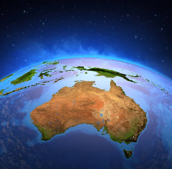
Surface Of Planet Earth Viewed From A Satellite, Focused On Australia, Sun Rising On The Horizon. Physical Map Of The Australian Continent. 3D Illustration - Elements Of This Image Furnished By NASA.

Image, 12.05MB, 7300 × 7173 jpg
stock image Sunrise over African Earth

Sunrise Over African Earth

Image, 8.14MB, 8000 × 6410 jpg
stock image Surface of the Planet Earth viewed from a satellite, focused on Europe and Middle East, sun rising on the horizon. Physical map of the World. 3D illustration - Elements of this image furnished by NASA

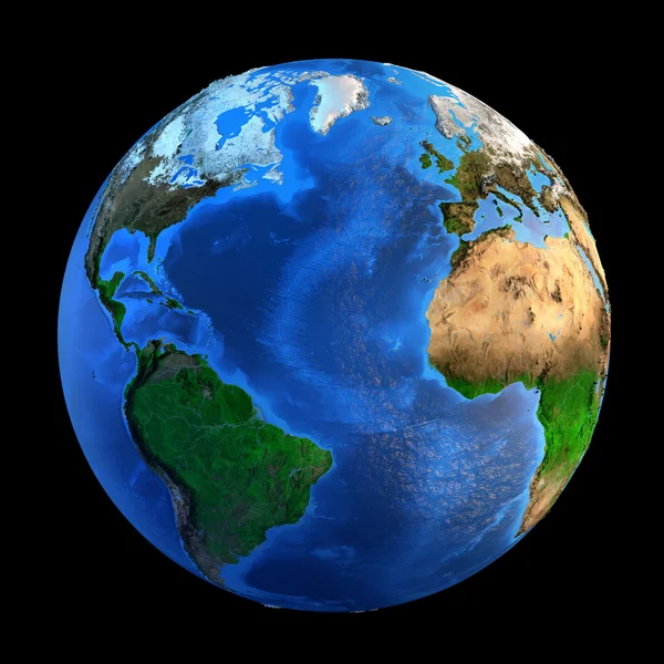
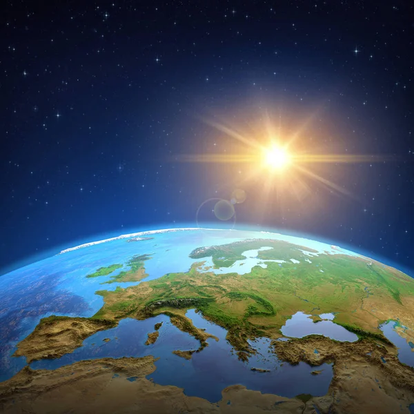
Surface Of The Planet Earth Viewed From A Satellite, Focused On Europe And Middle East, Sun Rising On The Horizon. Physical Map Of The World. 3D Illustration - Elements Of This Image Furnished By NASA

Image, 15.3MB, 7300 × 7173 jpg
Page 1 >> Next