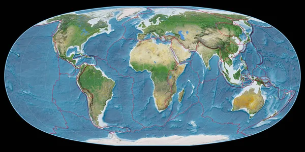
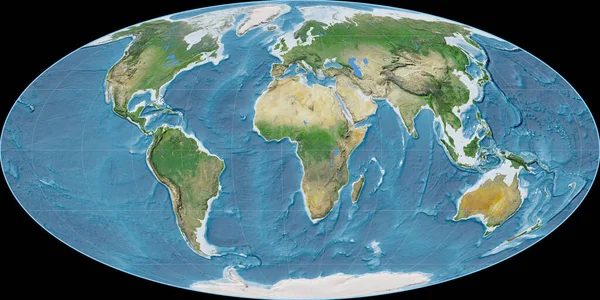
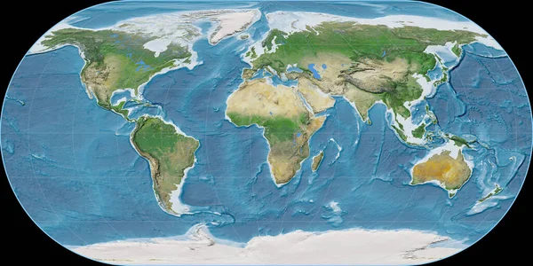
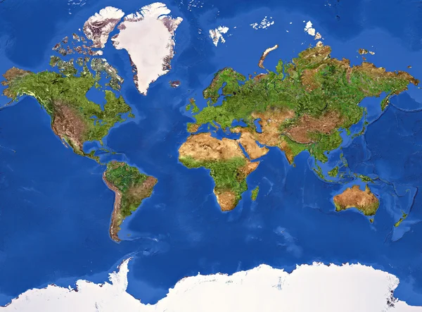
Stock image Planet Earth Texture
Published: Jan.29, 2015 16:31:40
Author: ktsdesign
Views: 745
Downloads: 20
File type: image / jpg
File size: 15.81 MB
Orginal size: 7000 x 5180 px
Available sizes:
Level: silver