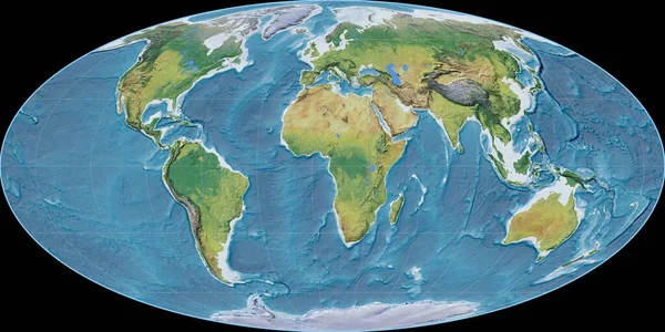
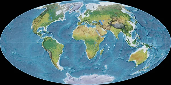
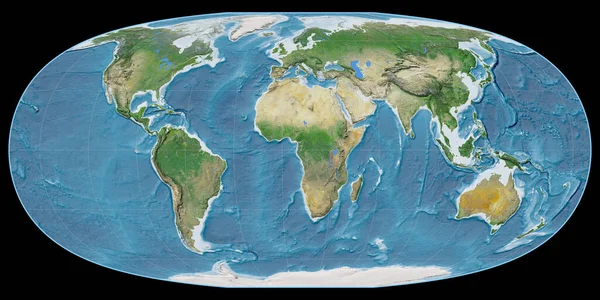
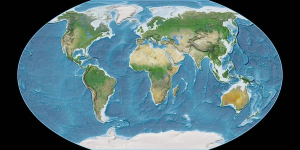
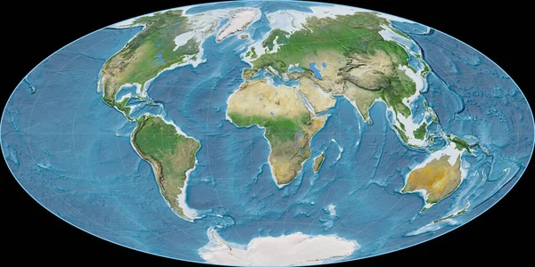
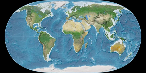
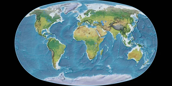
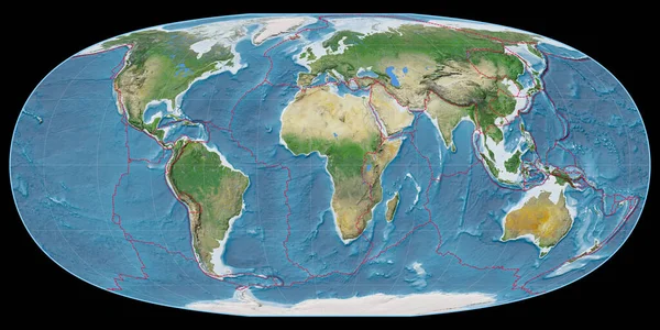
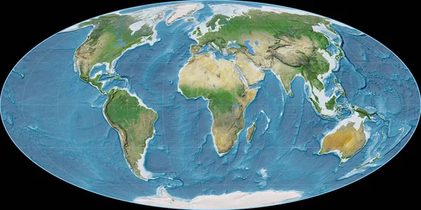
Stock image World map in the Mollweide projection centered on 11 East longitude. Satellite imagery A - raw composite of raster with graticule. 3D illustration
Published: Sep.16, 2020 07:47:23
Author: Yarr65
Views: 2
Downloads: 0
File type: image / jpg
File size: 9.86 MB
Orginal size: 4000 x 2000 px
Available sizes:
Level: bronze