photo free
Home Images Vectors Videos

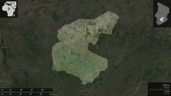
Stock image Plateaux, region of Republic of Congo. Satellite imagery. Shape presented against its country area with informative overlays. 3D rendering

Stock image Plateaux, region of Republic of Congo. Satellite imagery. Shape presented against its country area with informative overlays. 3D rendering
Published: Jul.07, 2020 14:56:17
Author: Yarr65
Views: 0
Downloads: 0
File type: image / jpg
File size: 5.69 MB
Orginal size: 2880 x 1620 px
Available sizes:
S
(500 x 281)
M
(1000 x 563)
L
(2000 x 1125)
XL
(2880 x 1620)
EL0
(2880 x 1620)
Level: bronze
Download Image
Image topics:

Similar stock images

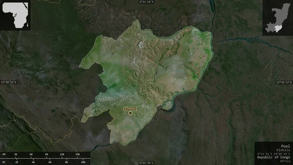
stock image Pool, region of Republic of Congo. Satellite imagery. Shape presented against its country area with informative overlays. 3D rendering

Pool, Region Of Republic Of Congo. Satellite Imagery. Shape Presented Against Its Country Area With Informative Overlays. 3D Rendering

2880 × 1620
stock image Mayo-Kebbi Est, region of Chad. Satellite imagery. Shape presented against its country area with informative overlays. 3D rendering

Mayo-Kebbi Est, Region Of Chad. Satellite Imagery. Shape Presented Against Its Country Area With Informative Overlays. 3D Rendering

2880 × 1620
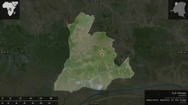
stock image Sud-Ubangi, province of Democratic Republic of the Congo. Satellite imagery. Shape presented against its country area with informative overlays. 3D rendering

Sud-Ubangi, Province Of Democratic Republic Of The Congo. Satellite Imagery. Shape Presented Against Its Country Area With Informative Overlays. 3D Rendering

2880 × 1620
stock image Mongala, province of Democratic Republic of the Congo. Satellite imagery. Shape presented against its country area with informative overlays. 3D rendering

Mongala, Province Of Democratic Republic Of The Congo. Satellite Imagery. Shape Presented Against Its Country Area With Informative Overlays. 3D Rendering

2880 × 1620
stock image Dihok, province of Iraq. Satellite imagery. Shape presented against its country area with informative overlays. 3D rendering

Dihok, Province Of Iraq. Satellite Imagery. Shape Presented Against Its Country Area With Informative Overlays. 3D Rendering

2880 × 1620
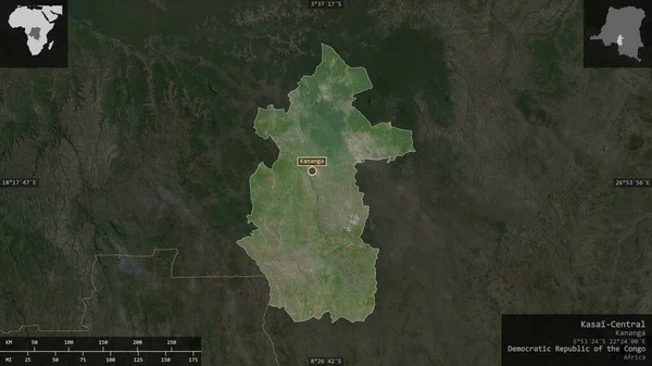
stock image Kasai-Central, province of Democratic Republic of the Congo. Satellite imagery. Shape presented against its country area with informative overlays. 3D rendering

Kasai-Central, Province Of Democratic Republic Of The Congo. Satellite Imagery. Shape Presented Against Its Country Area With Informative Overlays. 3D Rendering

2880 × 1620
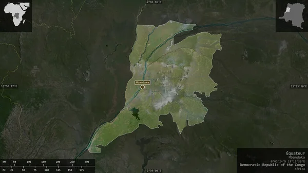
stock image Equateur, province of Democratic Republic of the Congo. Satellite imagery. Shape presented against its country area with informative overlays. 3D rendering

Equateur, Province Of Democratic Republic Of The Congo. Satellite Imagery. Shape Presented Against Its Country Area With Informative Overlays. 3D Rendering

2880 × 1620
stock image Guera, region of Chad. Satellite imagery. Shape presented against its country area with informative overlays. 3D rendering

Guera, Region Of Chad. Satellite Imagery. Shape Presented Against Its Country Area With Informative Overlays. 3D Rendering

2880 × 1620