photo free
Home Images Vectors Videos

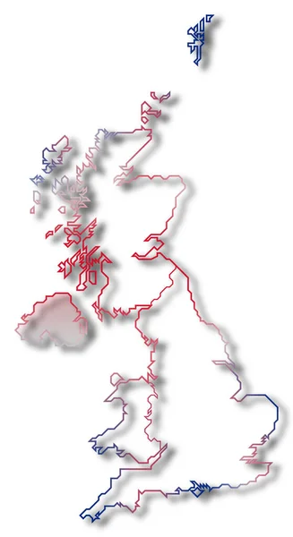
Stock image Political map of United Kingdom with the several countries where Wales is highlighted.

Stock image Political map of United Kingdom with the several countries where Wales is highlighted.
Published: Mar.06, 2020 12:35:06
Author: PantherMediaSeller
Views: 0
Downloads: 0
File type: image / jpg
File size: 0 MB
Orginal size: 3740 x 6850 px
Available sizes:
S
(273 x 500)
M
(546 x 1000)
L
(1092 x 2000)
XL
(3740 x 6850)
EL0
(3740 x 6850)
Level: platinum
Download Image
Image topics:

Similar stock images

stock image Political map of United Kingdom with the several countries where Northern Ireland is highlighted.

Political Map Of United Kingdom With The Several Countries Where Northern Ireland Is Highlighted.

3740 × 6850
stock image Political map of United Kingdom with the several countries.

Political Map Of United Kingdom With The Several Countries.

3740 × 6850
stock image Political map of United Kingdom with the several countries where England is highlighted.

Political Map Of United Kingdom With The Several Countries Where England Is Highlighted.

3740 × 6850
stock image Political map of United Kingdom with the several countries where Scottland is highlighted.

Political Map Of United Kingdom With The Several Countries Where Scottland Is Highlighted.

3740 × 6850
stock image Political map of United Kingdom with the several countries.

Political Map Of United Kingdom With The Several Countries.

3740 × 6850
stock image 3D blue map of Great Britain on white

3D Blue Map Of Great Britain On White

3498 × 5244
stock vector Highly detailed United Kingdom map with borders isolated on background

Highly Detailed United Kingdom Map With Borders Isolated On Background

4000 × 4000
stock vector vector illustration of red colored outline map of UK

Vector Illustration Of Red Colored Outline Map Of UK

4500 × 4500