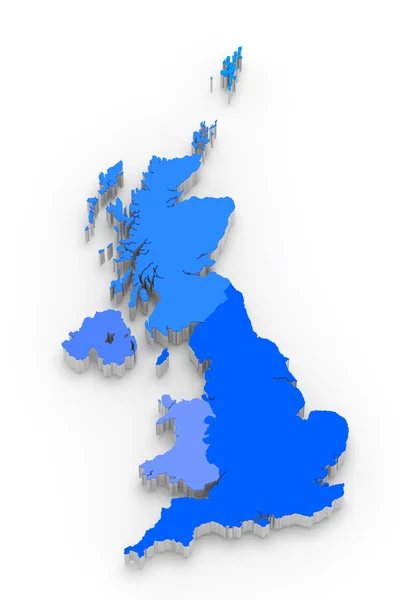
Stock image Political map of United Kingdom with the several countries where Northern Ireland is highlighted.
Published: Mar.12, 2020 11:59:22
Author: PantherMediaSeller
Views: 0
Downloads: 0
File type: image / jpg
File size: 0 MB
Orginal size: 3740 x 6850 px
Available sizes:
Level: platinum
Similar stock images


Political Map Of United Kingdom With The Several Countries Where England Is Highlighted.
3740 × 6850