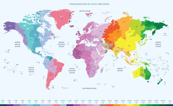
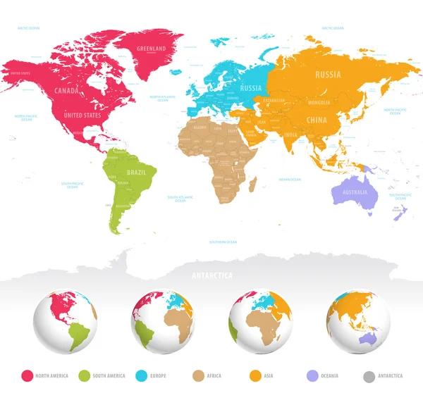
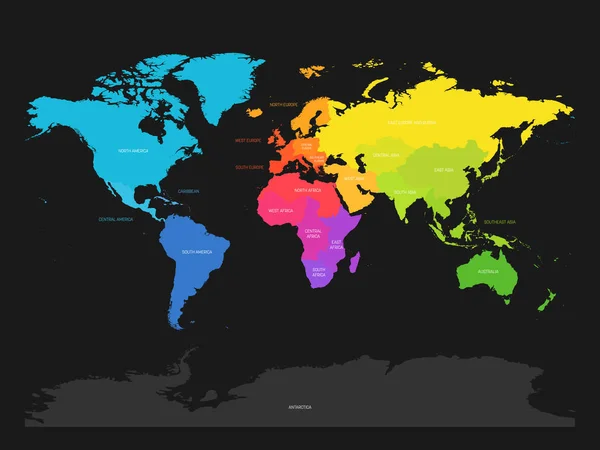
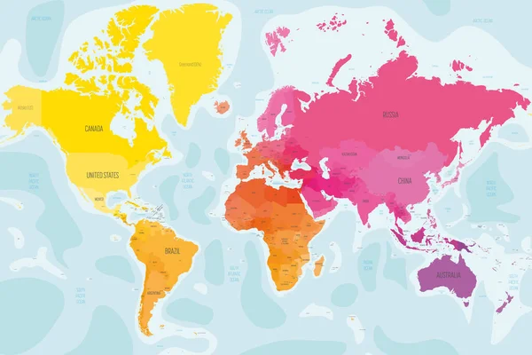
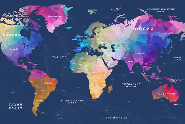
Stock image Polygonal map of the world with the designation of countries and capital cities seas and bays Australia Russia USA England Africa America
Published: Jan.27, 2022 13:29:01
Author: fluran
Views: 29
Downloads: 2
File type: image / jpg
File size: 17.58 MB
Orginal size: 9449 x 6378 px
Available sizes:
Level: beginner