Home
Images
Vectors
Videos
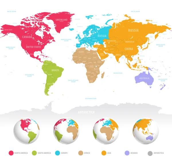
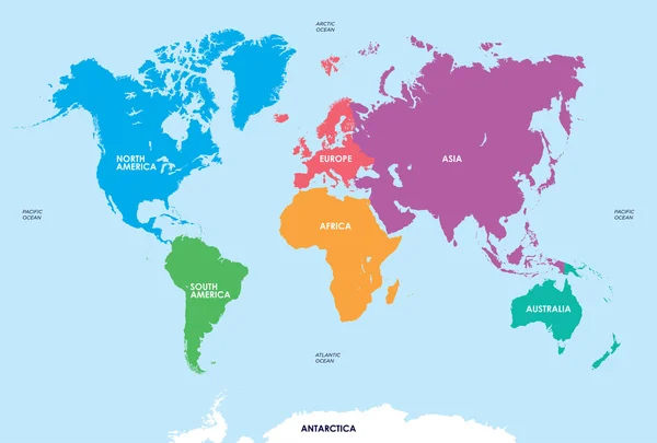
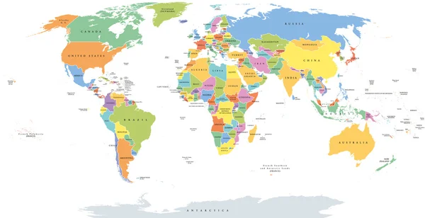
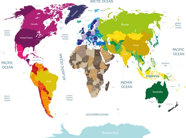
Stock vector colored world map with country names
Published:
Jul.15, 2015 14:28:44
Author:
Jktu_21
Views:
5489
Downloads:
31
File type:
vector
/
eps
File size:
14.27 MB
Orginal size:
10417
x
7728
px
Available sizes:
S
(500 x 371)
M
(1000 x 742)
L
(2000 x 1484)
XL
(10417 x 7728)
VECT
(10417 x 7728)
EL0
(10417 x 7728)
Level:
silver
Download Vector
Vector topics:
Colored
Business
Travel
Transportation
Ecology
With
Earth
World
Usa
Netherlands
Ocean
Detailed
Sweden
Scandinavia
Europe
Globalization
Country
Map
Geography
Pacific
Africa
Germany
Land
Asia
America
Australia
Union
Denmark
Continents
Oceania
Atlas
Greenland
Eurasia
World Map
United Nations
North America
South America
Pacific Ocean
Map Of The World
World Travel
Atlantic Ocean
Indian Ocean
Save The Planet
Countries Of The World
Arctic Ocean
Political Map
World Map Vector
Geographical Map
Political World Map
World Map With Countries
Similar stock vectors
World Map Colored By Continents
10417 × 6477
Colorful Vector World Map
7000 × 6519
Continents Of The World, Map
8268 × 5588
Highly Detailed Political World Map
11177 × 5001
World Single States Political Map
11000 × 5649
Continents And Countries On The World Map Marked.
6000 × 6000
World Map Vector Illustration
5200 × 3440
Political World Map Vector Illustration With Different Colors For Each Continent And Different Tones For Each Country. Editable And Clearly Labeled Layers.
5600 × 3400