photo free
Home Images Vectors Videos

Stock image Prince Patrick Island in the Beaufort Sea, belonging to Canada, isolated on a satellite image taken in October 5, 2017, with distance scale

Stock image Prince Patrick Island in the Beaufort Sea, belonging to Canada, isolated on a satellite image taken in October 5, 2017, with distance scale
Published: Sep.11, 2024 14:05:00
Author: zelwanka
Views: 0
Downloads: 0
File type: image / jpg
File size: 1.71 MB
Orginal size: 2160 x 2160 px
Available sizes:
S
(500 x 500)
M
(1000 x 1000)
L
(2000 x 2000)
XL
(2160 x 2160)
EL0
(2160 x 2160)
Level: beginner
Download Image
Image topics:

Similar stock images

stock image Gasa, district of Bhutan. Sentinel-2 satellite imagery. Shape isolated on solid background with informative overlays. Contains modified Copernicus Sentinel data

Gasa, District Of Bhutan. Sentinel-2 Satellite Imagery. Shape Isolated On Solid Background With Informative Overlays. Contains Modified Copernicus Sentinel Data

3953 × 2529
stock image Shape of a elevation map colored in sepia tones with lakes and rivers of the Slovenia, with distance scale and map border coordinates, isolated on white

Shape Of A Elevation Map Colored In Sepia Tones With Lakes And Rivers Of The Slovenia, With Distance Scale And Map Border Coordinates, Isolated On White

2556 × 1760
stock image Shape of a elevation map colored in sepia tones with lakes and rivers of the North Macedonia, with distance scale and map border coordinates, isolated on white

Shape Of A Elevation Map Colored In Sepia Tones With Lakes And Rivers Of The North Macedonia, With Distance Scale And Map Border Coordinates, Isolated On White

2357 × 1909
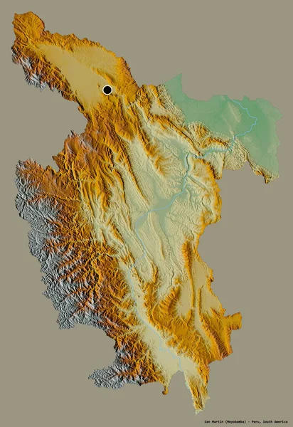
stock image Shape of San Martin, region of Peru, with its capital isolated on a solid color background. Topographic relief map. 3D rendering

Shape Of San Martin, Region Of Peru, With Its Capital Isolated On A Solid Color Background. Topographic Relief Map. 3D Rendering

2637 × 3836
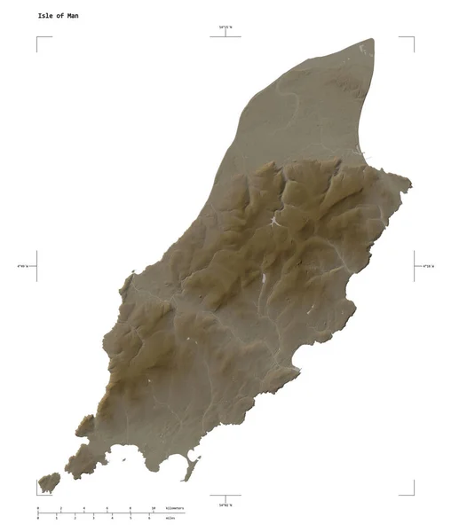
stock image Shape of a elevation map colored in sepia tones with lakes and rivers of the Isle of Man, with distance scale and map border coordinates, isolated on white

Shape Of A Elevation Map Colored In Sepia Tones With Lakes And Rivers Of The Isle Of Man, With Distance Scale And Map Border Coordinates, Isolated On White

1951 × 2305
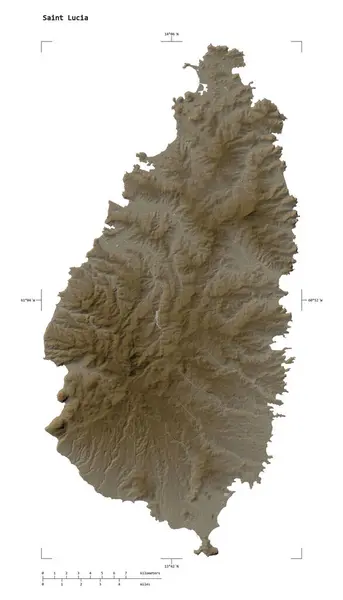
stock image Shape of a elevation map colored in sepia tones with lakes and rivers of the Saint Lucia, with distance scale and map border coordinates, isolated on white

Shape Of A Elevation Map Colored In Sepia Tones With Lakes And Rivers Of The Saint Lucia, With Distance Scale And Map Border Coordinates, Isolated On White

1605 × 2803
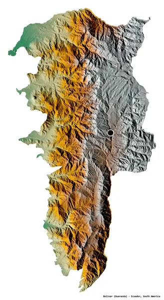
stock image Shape of Bolivar, province of Ecuador, with its capital isolated on white background. Topographic relief map. 3D rendering

Shape Of Bolivar, Province Of Ecuador, With Its Capital Isolated On White Background. Topographic Relief Map. 3D Rendering

2107 × 3836
stock image Shape of a elevation map colored in sepia tones with lakes and rivers of the Martinique, with distance scale and map border coordinates, isolated on white

Shape Of A Elevation Map Colored In Sepia Tones With Lakes And Rivers Of The Martinique, With Distance Scale And Map Border Coordinates, Isolated On White

1963 × 2291