Home
Images
Vectors
Videos
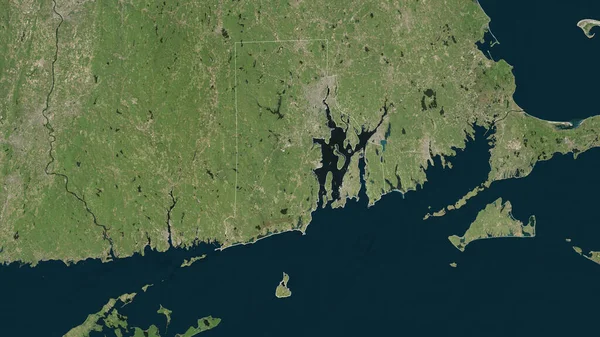
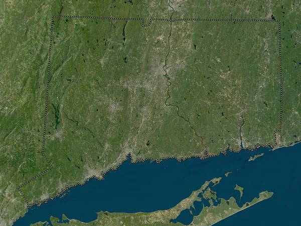
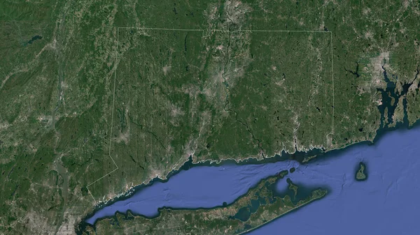
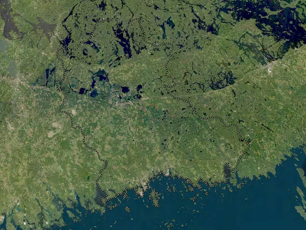
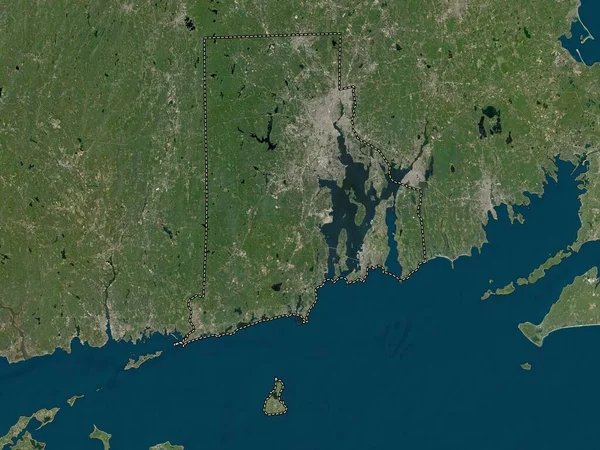
Stock image Rhode Island, state of United States of America. Low resolution satellite map
Published:
Apr.21, 2023 13:27:32
Author:
Yarr65
Views:
1
Downloads:
0
File type:
image
/
jpg
File size:
7.01 MB
Orginal size:
3840
x
2880
px
Available sizes:
S
(500 x 375)
M
(1000 x 750)
L
(2000 x 1500)
XL
(3840 x 2880)
EL0
(3840 x 2880)
Level:
bronze
Download Image
Image topics:
Shape
Nature
Border
Contour
Earth
Planet
Usa
Capital
Outline
Country
Map
Geography
Continent
Land
State
Washington
Region
Territory
Atlas
Lincoln
Legend
Providence
Newport
Johnston
Bristol
Portsmouth
Coventry
Cumberland
Warwick
North America
United States Of America
Rhode Island
Westerly
Smithfield
Tiverton
Barrington
Narragansett
Middletown
Pawtucket
Cranston
East Greenwich
Woonsocket
South Kingstown
East Providence
Central Falls
Administrative Division
North Kingstown
West Warwick
North Providence
BURRILLVILLE
Similar stock images
Rhode Island, State Of United States. Satellite Imagery. Shape Outlined Against Its Country Area. 3D Rendering
2880 × 1620
Connecticut, State Of United States Of America. Low Resolution Satellite Map
3840 × 2880
Rhode Island, State Of United States Of America. High Resolution Satellite Map
3840 × 2880
Connecticut, State Of United States. Satellite Imagery. Shape Outlined Against Its Country Area. 3D Rendering
2880 × 1620
Kymenlaakso, Region Of Finland. Low Resolution Satellite Map
3840 × 2880
Uusimaa, Region Of Finland. High Resolution Satellite Map
3840 × 2880
New Brunswick, Province Of Canada. High Resolution Satellite Map
3840 × 2880
New Brunswick, Province Of Canada. Low Resolution Satellite Map
3840 × 2880