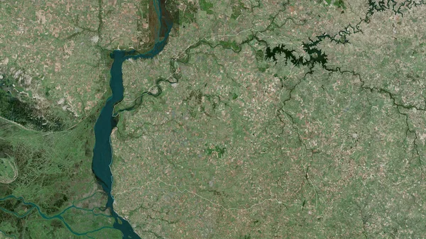
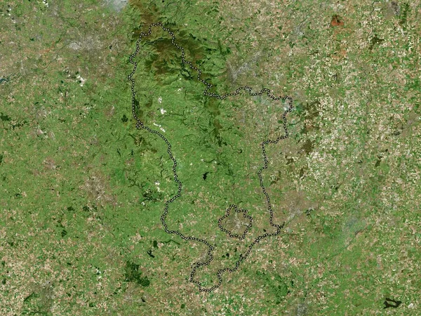
Stock image Rio Negro, department of Uruguay. Satellite imagery. Shape outlined against its country area. 3D rendering

Published: Sep.16, 2020 09:13:00
Author: Yarr65
Views: 3
Downloads: 0
File type: image / jpg
File size: 7.39 MB
Orginal size: 2880 x 1620 px
Available sizes:
Level: bronze
Similar stock images
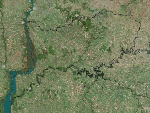
Paysandu, Department Of Uruguay. Satellite Imagery. Shape Outlined Against Its Country Area. 3D Rendering
2880 × 1620
Cherkasy, Region Of Ukraine. Satellite Imagery. Shape Outlined Against Its Country Area. 3D Rendering
2880 × 1620

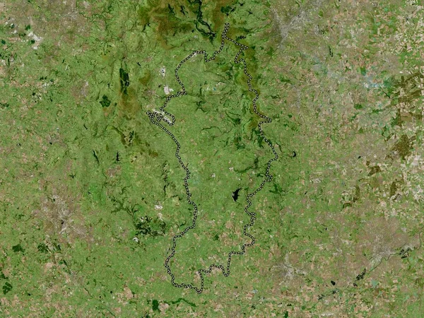
Derbyshire Dales, Non Metropolitan District Of England - Great Britain. High Resolution Satellite Map
3840 × 2880
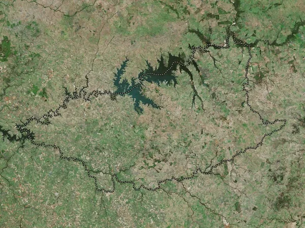
Derbyshire, Administrative County Of England - Great Britain. High Resolution Satellite Map
3840 × 2880