photo free
Home Images Vectors Videos

Stock image Sakhalin Island in the Japan Sea, belonging to Russia, isolated on a bilevel elevation map, with distance scale

Stock image Sakhalin Island in the Japan Sea, belonging to Russia, isolated on a bilevel elevation map, with distance scale
Published: Sep.11, 2024 14:09:43
Author: zelwanka
Views: 0
Downloads: 0
File type: image / jpg
File size: 0.29 MB
Orginal size: 2160 x 2160 px
Available sizes:
S
(500 x 500)
M
(1000 x 1000)
L
(2000 x 2000)
XL
(2160 x 2160)
EL0
(2160 x 2160)
Level: beginner
Download Image
Image topics:

Similar stock images

stock image Shape of a elevation map colored in sepia tones with lakes and rivers of the Chile, with distance scale and map border coordinates, isolated on white

Shape Of A Elevation Map Colored In Sepia Tones With Lakes And Rivers Of The Chile, With Distance Scale And Map Border Coordinates, Isolated On White

1151 × 3908
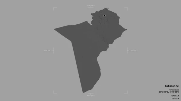
stock image Area of Tataouine, governorate of Tunisia, isolated on a solid background in a georeferenced bounding box. Labels. Bilevel elevation map. 3D rendering

Area Of Tataouine, Governorate Of Tunisia, Isolated On A Solid Background In A Georeferenced Bounding Box. Labels. Bilevel Elevation Map. 3D Rendering

2880 × 1620
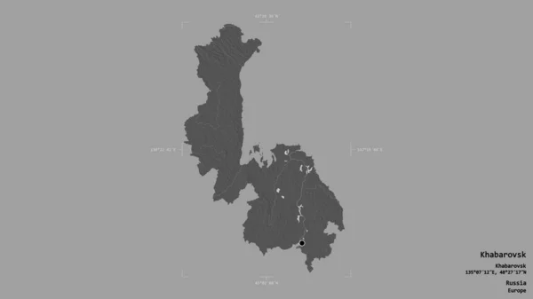
stock image Area of Khabarovsk, territory of Russia, isolated on a solid background in a georeferenced bounding box. Labels. Bilevel elevation map. 3D rendering

Area Of Khabarovsk, Territory Of Russia, Isolated On A Solid Background In A Georeferenced Bounding Box. Labels. Bilevel Elevation Map. 3D Rendering

2880 × 1620
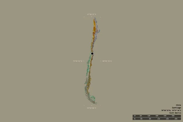
stock image Area of Chile isolated on a solid background in a georeferenced bounding box. Main regional division, distance scale, labels. Topographic relief map. 3D rendering

Area Of Chile Isolated On A Solid Background In A Georeferenced Bounding Box. Main Regional Division, Distance Scale, Labels. Topographic Relief Map. 3D Rendering

3000 × 2000
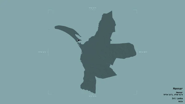
stock image Area of Mannar, district of Sri Lanka, isolated on a solid background in a georeferenced bounding box. Labels. Colored elevation map. 3D rendering

Area Of Mannar, District Of Sri Lanka, Isolated On A Solid Background In A Georeferenced Bounding Box. Labels. Colored Elevation Map. 3D Rendering

2880 × 1620
stock image Area of Badakhshan, province of Afghanistan, isolated on a solid background in a georeferenced bounding box. Labels. Colored elevation map. 3D rendering

Area Of Badakhshan, Province Of Afghanistan, Isolated On A Solid Background In A Georeferenced Bounding Box. Labels. Colored Elevation Map. 3D Rendering

2880 × 1620
stock image Area of Oshana, region of Namibia, isolated on a solid background in a georeferenced bounding box. Labels. Bilevel elevation map. 3D rendering

Area Of Oshana, Region Of Namibia, Isolated On A Solid Background In A Georeferenced Bounding Box. Labels. Bilevel Elevation Map. 3D Rendering

2880 × 1620
stock image Area of Olt, county of Romania, isolated on a solid background in a georeferenced bounding box. Labels. Bilevel elevation map. 3D rendering

Area Of Olt, County Of Romania, Isolated On A Solid Background In A Georeferenced Bounding Box. Labels. Bilevel Elevation Map. 3D Rendering

2880 × 1620