Home
Images
Vectors
Videos
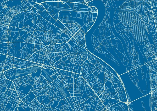
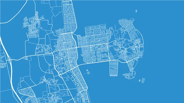
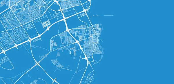
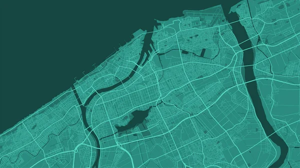
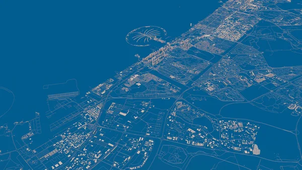
Stock image Satellite map of Dubai, United Arab Emirates, city streets. Street map and map of the city center.
Published:
Jan.31, 2019 11:27:20
Author:
vampy1
Views:
148
Downloads:
1
File type:
image
/
jpg
File size:
12.45 MB
Orginal size:
5511
x
3100
px
Available sizes:
S
(500 x 281)
M
(1000 x 563)
L
(2000 x 1125)
XL
(5511 x 3100)
EL0
(5511 x 3100)
Level:
silver
Download Image
Image topics:
Background
Design
Isolated
Sign
Travel
Transportation
Border
Road
Traffic
Symbol
Architecture
Building
City
Urban
Information
Attention
Highway
Landmark
Eastern
Outline
Country
District
Map
Warning
Buildings
Chart
Poster
Touristic
Destination
Welcome
Republic
Signpost
Atlas
Dubai
Democratic
Ministry
Top View
Aerial View
United Arab Emirates
City Map
3D Buildings
Satellite Map
Similar stock images
Detailed Vector Map Poster Of Calais City Administrative Area. Blue Skyline Panorama. Decorative Graphic Tourist Map Of Calais Territory. Royalty Free Vector Illustration.
4001 × 4001
Urban Vector City Map Of Jaxan, Saudi Arabia, Middle East
6000 × 3382
Blue And White Vector City Map Of Kiev With Well Organized Separated Layers.
3717 × 2616
Urban Vector City Map Of Mersin, Turkey
6000 × 3024
Urban Vector City Map Of Al Qatif, Saudi Arabia, Middle East
6000 × 3382
Cairo Map City Poster Province, Blue Horizontal Background Vector Map. Municipality Area Road Map. Widescreen Egypt Capital Skyline Panorama.
5334 × 3001
Urban Vector City Map Of Al Wakrah, Qatar
6000 × 2932
Dark Green Niigata City Area Vector Background Map, Roads And Water Illustration. Widescreen Proportion, Digital Flat Design Roadmap.
5334 × 3001