Home
Images
Vectors
Videos
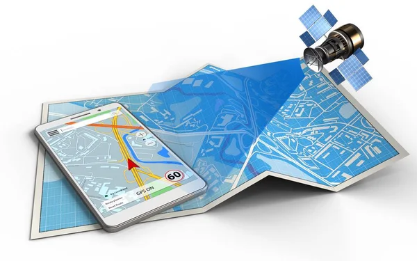
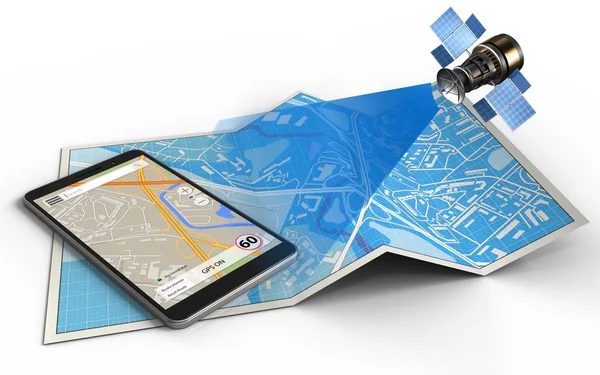
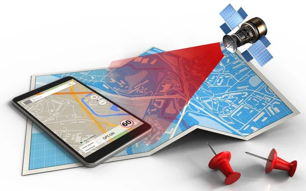
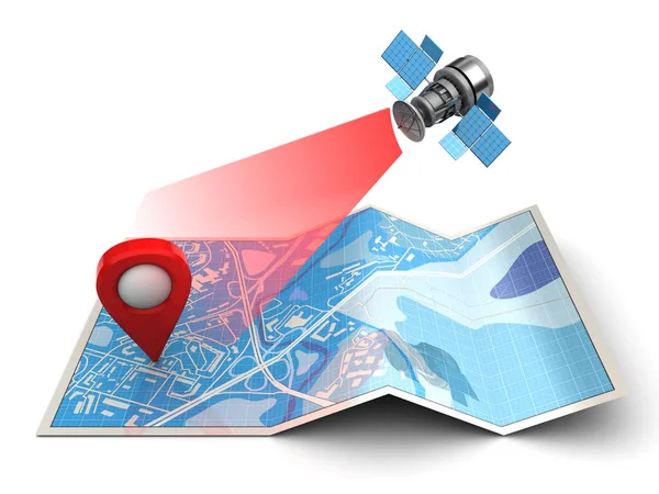
Stock image satellite navigation and gps pointer on map
Published:
Dec.01, 2016 08:35:16
Author:
mmaxer
Views:
64
Downloads:
0
File type:
image
/
jpg
File size:
3.29 MB
Orginal size:
5000
x
3750
px
Available sizes:
S
(500 x 375)
M
(1000 x 750)
L
(2000 x 1500)
XL
(5000 x 3750)
EL0
(5000 x 3750)
Level:
silver
Download Image
Image topics:
Red
Group
White
Blue
Background
Illustration
Business
Equipment
Travel
3d
River
City
Phone
Planning
Information
Pin
Tourism
Town
Navigation
Pointer
Journey
Discovery
Direction
Map
Cartography
Target
Traveling
Searching
Topography
Symbols
Guide
Signs
Satellite
Navigational
Locations
Roads
Streets
Software
Smartphone
Gps
Positioning
Geographical
Targeted
Similar stock images
Satellite Navigation Concept
5000 × 3750
Illustration Of City Map
5000 × 3125
Illustration Of Map Paper
5000 × 3125
Illustration Of City Map
5000 × 3125
Illustration Of City Map
5000 × 3125
Illustration Of Blue Map
5000 × 3125
Illustration Of City Map
5000 × 3125
Illustration Of Blue Map
5000 × 3125