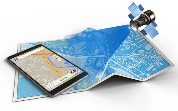
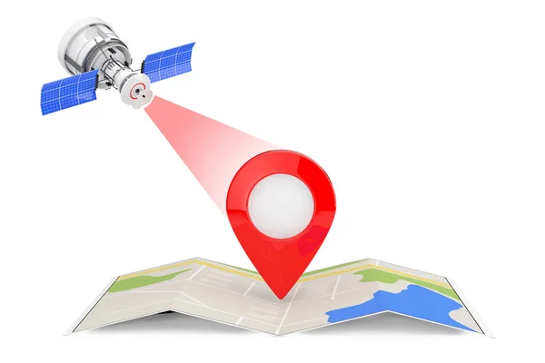
Stock image satellite navigation concept

Published: Oct.25, 2016 07:43:11
Author: mmaxer
Views: 130
Downloads: 15
File type: image / jpg
File size: 3.29 MB
Orginal size: 5000 x 3750 px
Available sizes:
Level: silver