Home
Images
Vectors
Videos
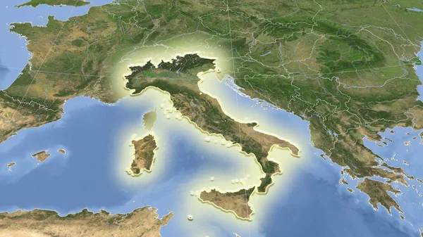
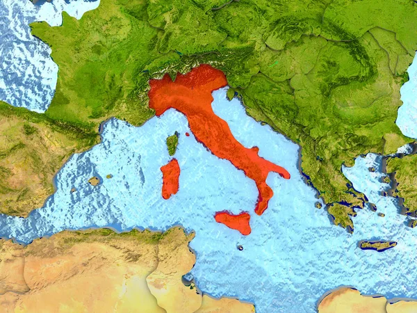
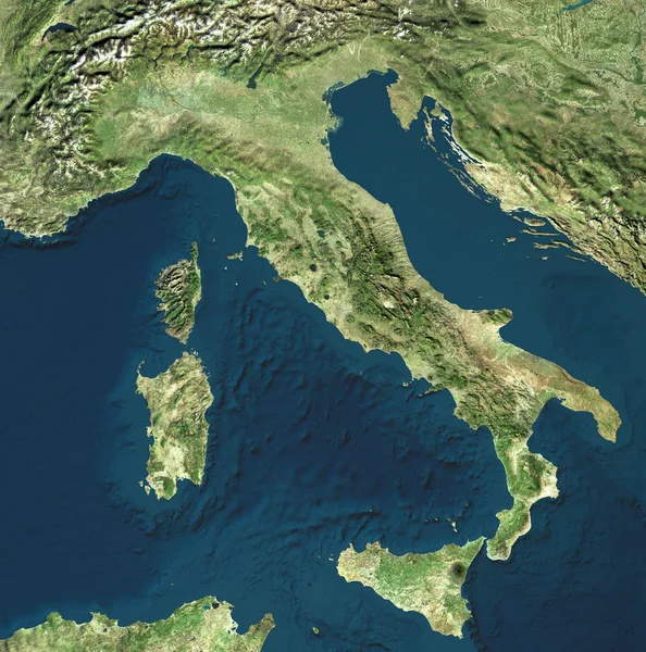
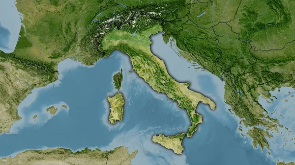
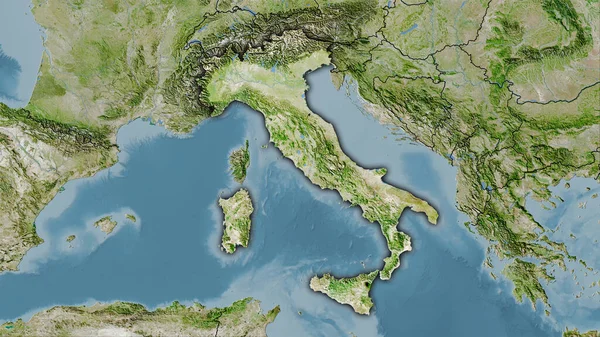
Stock image Satellite view of Italy. Italian physical map, reliefs plains and seas. Map. 3d rendering. Element of this image are furnished by Nasa
Published:
Nov.30, 2018 08:50:20
Author:
vampy1
Views:
145
Downloads:
2
File type:
image
/
jpg
File size:
14.85 MB
Orginal size:
4679
x
4724
px
Available sizes:
S
(495 x 500)
M
(990 x 1000)
L
(1981 x 2000)
XL
(4679 x 4724)
EL0
(4679 x 4724)
Level:
silver
Download Image
Image topics:
Blue
Background
View
Space
Sky
Business
Travel
Nature
Sea
European
Connection
Weather
3d
Sunrise
Landscape
Concept
City
Urban
Communication
Global
Physical
Visit
Internet
Mountains
Earth
Planet
World
Italy
Tourism
Science
Relief
Europe
Globe
Globalization
Atmosphere
Map
Cartography
Geography
Continent
Land
Mediterranean
Worldwide
Topography
International
Aerial
Satellite
Altitude
Nasa
Aerial View
Similar stock images
Italy, Physical Map, Satellite View, Map, 3d Rendering.
4251 × 3188
Italy Area On The Satellite B Map In The Stereographic Projection - Raw Composition Of Raster Layers With Dark Glowing Outline
2880 × 1620
Italy Area On The Satellite D Map In The Stereographic Projection - Raw Composition Of Raster Layers With Dark Glowing Outline
2880 × 1620
Italy Area On The Satellite A Map In The Stereographic Projection - Raw Composition Of Raster Layers With Dark Glowing Outline
2880 × 1620
Italy Area On The Satellite C Map In The Stereographic Projection - Raw Composition Of Raster Layers With Dark Glowing Outline
2880 × 1620
Italy Area On The Satellite B Map In The Stereographic Projection - Raw Composition Of Raster Layers
2880 × 1620
Italy And Its Neighborhood. Distant Oblique Perspective - Shape Glowed. Satellite Imagery
2880 × 1620
Italy In Red
5000 × 3750