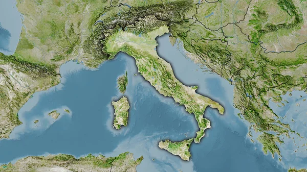
Stock image Italy, physical map, satellite view, map, 3d rendering.

Published: Jul.27, 2016 08:27:43
Author: vampy1
Views: 333
Downloads: 1
File type: image / jpg
File size: 10.77 MB
Orginal size: 4251 x 3188 px
Available sizes:
Level: silver